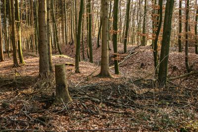
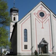
Drackenstein, Medieval castle ruins in Laimnau, Germany.
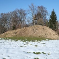
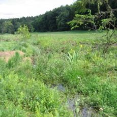
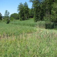
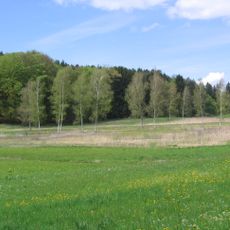
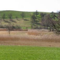
Drackenstein is a hilltop castle ruin near Laimnau that sits at about 520 meters above the Argental valley. The site still shows the foundations and outlines of medieval defense structures, including two U-shaped moats and stone walls that spread across the landscape.
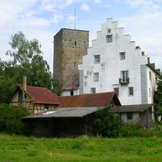
The castle was first recorded in 1480 as Trackenstein das Burgstall and served as a defensive stronghold in the region. It was part of the medieval defense network and eventually abandoned, leaving behind the ruins we see today.
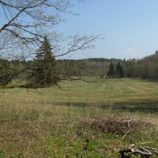
This hilltop location played a key defensive role in medieval Baden-Württemberg and shaped how people controlled the surrounding valleys. The elevated position allowed residents to watch over trade routes and the lands below.
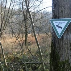
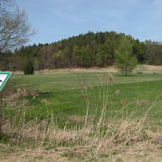
The castle site sits about 500 meters north of Laimnau church and is freely accessible year-round. The area is relatively easy to reach on foot and offers good views out over the surrounding valley.
A large ice-age gneiss boulder that was incorporated into the castle gave the site its name, Drackenstein. This distinctive stone remains visible among the ruins and connects the fortress to the natural geology of the area.
Location: Laimnau
GPS coordinates: 47.64062,9.63242
Latest update: December 8, 2025 21:06
Burg Gießen
3 km
Tettnang Castle
4.8 km
Burgruine Altsummerau
1.5 km
Torschloss
4.8 km
Altes Schloss
4.8 km
Pfarrkirche St. Gallus
4.9 km
Argen
3.7 km
Berger Weiher
3.7 km
Loretokapelle
4.5 km
Davidskäpfle (Rattenweiler)
1.2 km
Birkenweiher
1.1 km
Geowanderweg Tettnang
4.1 km
Lenensburg
2.9 km
Kreuzweiher-Langensee
4.2 km
Georgskapelle (Tettnang)
4.8 km
Höhe 493,8 südlich Tettnang bei Schäferhof
3.7 km
Seenplatte und Hügelland südlich der Argen und Nonnenbachtal (2 Teilgebiete)
3.1 km
Schachried
3.7 km
Matzenhauser Mahlweiher
4.9 km
Tettnanger Wald mit Hochwacht, Krüntenbühl, Reichenbühl, Argenhardter Kopf, Schoos und Steilrand des Argentales an dem Schwandenbogen
3.5 km
Schönmoos
3.4 km
Hirrensee
3.3 km
Eiszeitliche Ränder des Argentals mit Argenaue
2.8 km
Buchbach
2.4 km
Loderhof-Weiher
2.1 km
Argen und Feuchtgebiete bei Neukirch und Langnau
2.4 km
Kreuz
2.7 km
Pfarrkirche St. Georg
4.9 kmVisited this place? Tap the stars to rate it and share your experience / photos with the community! Try now! You can cancel it anytime.
Discover hidden gems everywhere you go!
From secret cafés to breathtaking viewpoints, skip the crowded tourist spots and find places that match your style. Our app makes it easy with voice search, smart filtering, route optimization, and insider tips from travelers worldwide. Download now for the complete mobile experience.
A unique approach to discovering new places❞
— Le Figaro
All the places worth exploring❞
— France Info
A tailor-made excursion in just a few clicks❞
— 20 Minutes