Buocher Höhe, Forest summit in Rems-Murr, Germany
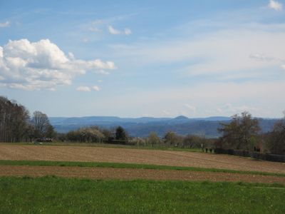
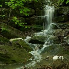
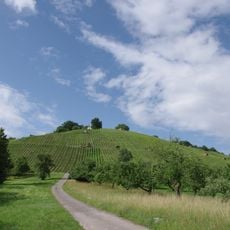
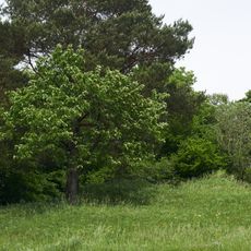
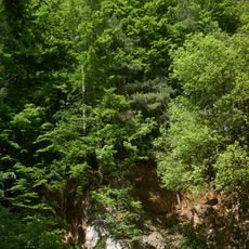
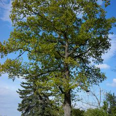
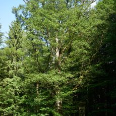
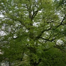
Buocher Höhe is a forested hill in the Rems-Murr region covered in dense woodland across its slopes. The area is cut through by several valleys and forms part of a broader chain of hills and ridges with varied terrain.
The area and surrounding landscape have been designated for environmental protection since the late 1960s to preserve natural habitats. This protective status has shaped how the region is managed and used today.
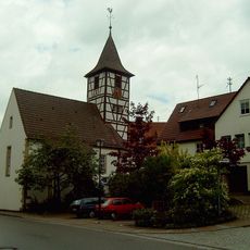
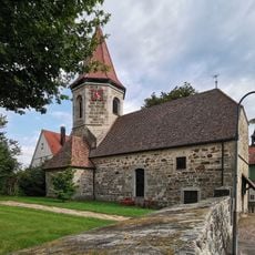
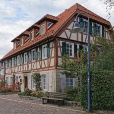
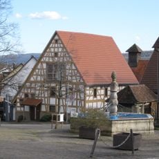
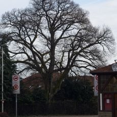
The area retains rural village traditions, and you can see how local people use the trails for walking and cycling throughout their daily routines. The proximity to settlements like Buoch creates a landscape where community life naturally connects with the surrounding forest.
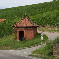
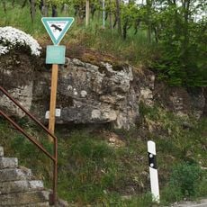
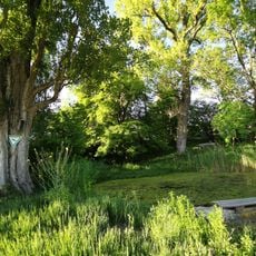
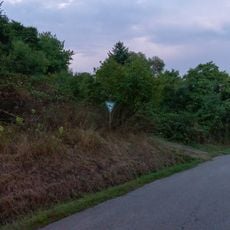
The area is crossed by hiking trails that wind through valleys and over the higher ground, connecting to nearby villages. Trails vary from narrow footpaths to wider tracks, offering different options for accessing and moving through the landscape.
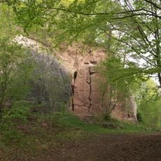
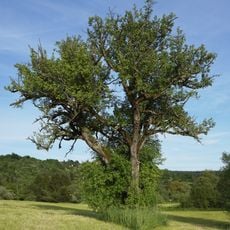
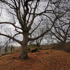
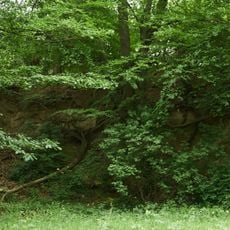
Beneath the woodland lie distinct rock formations that naturally create different soil types and influence the vegetation patterns. Where the forest has been cleared, you can observe how varying agricultural practices reflect these underlying geological differences.
Location: Rems-Murr
Elevation above the sea: 519.6 m
Part of: Berglen
GPS coordinates: 48.83698,9.42544
Latest update: December 12, 2025 14:24
Dionysiuskirche
2 km
Haselstein
2.9 km
Evangelische Kirche Steinach
2.1 km
Evangelische Kirche
348 m
Oberes Zipfelbachtal mit Seitenklinge und Teilen des Sonnenbergs
2.2 km
Konradskirche
3.2 km
Zipfelbachtal, Korber Kopf, Buocher Höhe, Remstalhänge, Ramsbachtal und Grafenberg
703 m
Haselstein mit Steppenheide und Steppenheidegebüsch
2.8 km
Rathaus Remshalden
3 km
Museum im Hirsch
505 m
St. Michael
3.2 km
Eiche und Buche
521 m
Birnbäume und Eiche
2.8 km
Museum Remshalden - Heimat Wirtschaft Heinkel
2.2 km
Hölzle beim Sonnenberg
2.2 km
Ehemaliger Steinbruch im unteren Stubensandstein
1.2 km
Quelle m.Kalksinterbildung u.anschließender Klinge
894 m
Linde
3.2 km
Eiche
3.1 km
Eiche am Großen Roßberg
1.7 km
Aufschluß des Kieselsandsteins (sog.Geol.Fenster)
3 km
Zwei Schilfgebiete
2.3 km
Linde am Eichberg
2.4 km
Gehölz mit Steppenheide und sog. Steinfelsen
2 km
Dorfteich mit Baumbestand
601 m
Linde
502 m
Alter Steinbruch mit Gehölzen u.Trockenrasen
3 km
Alte Steinbruchwände und Flurgehölze
1.4 kmVisited this place? Tap the stars to rate it and share your experience / photos with the community! Try now! You can cancel it anytime.
Discover hidden gems everywhere you go!
From secret cafés to breathtaking viewpoints, skip the crowded tourist spots and find places that match your style. Our app makes it easy with voice search, smart filtering, route optimization, and insider tips from travelers worldwide. Download now for the complete mobile experience.
A unique approach to discovering new places❞
— Le Figaro
All the places worth exploring❞
— France Info
A tailor-made excursion in just a few clicks❞
— 20 Minutes