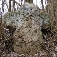
Burgruine Marstetten, Medieval castle ruin in Aitrach, Germany.
Burgruine Marstetten is a castle ruin located on a hilltop at 657 meters (2,155 feet) elevation that overlooks the Iller Valley. The remaining stone structures show different periods of construction, with parts of the inner courtyard and defensive walls still visible.
The fortress began in the 11th century under the Ursin-Ronsberg margraves who controlled the surrounding region. Swedish military forces damaged it heavily during the 1600s conflict, after which it was abandoned and left to decay.
Visitors walk through the remaining walls to feel connected to the medieval past and understand how people lived in this hilltop fortress. The location offers a natural gathering spot where locals and travelers experience the landscape as earlier inhabitants did.
The ruins are reached by foot from a nearby parking area on the road toward Bad Wurzach. The walk uphill takes about 10 to 15 minutes and is moderately steep, so sturdy shoes are helpful.
The name comes from its role as a boundary marker between two districts, a function traceable back to the year 838. This significance as a dividing line made the location an important checkpoint in the region's medieval governance.
The community of curious travelers
AroundUs brings together thousands of curated places, local tips, and hidden gems, enriched daily by 60,000 contributors worldwide.