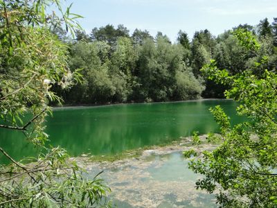
Kiesgrube Aitrach, Nature reserve in Aitrach, Germany.
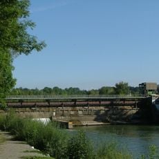
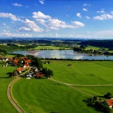
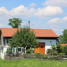
Kiesgrube Aitrach is a protected area located between river valleys in a region where gravel was once extracted industrially. The site contains two artificial lakes surrounded by vegetation, with habitats ranging from open shorelines to woodland edges.
The site began as an extraction site in 1924 when gravel mining became important for building and infrastructure development. Mining ceased in the mid-20th century, allowing the flooded quarries to develop into a natural habitat over several decades.
The name refers to its gravel extraction past, and today the site represents a place where industrial land has transformed into a refuge for wildlife. People visit to experience how water bodies and vegetation have reclaimed a once-worked landscape.
The reserve is easiest to reach from the sports field parking area, where a short walking path leads into the site. Early morning visits offer the best chance for observing birds, as the area is quieter and wildlife is most active at these times.
The site sits within a glacial canyon carved during the last ice age, which shapes how groundwater flows through the terrain in unexpected ways. This geological feature creates lakes with distinct temperature patterns that shift noticeably across the seasons.
The community of curious travelers
AroundUs brings together thousands of curated places, local tips, and hidden gems, enriched daily by 60,000 contributors worldwide.