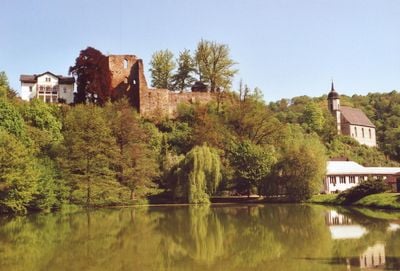
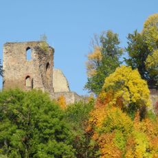
Burg Tharandt, Medieval castle ruins in Tharandt, Germany
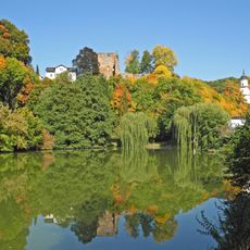
Burg Tharandt is a castle ruin sitting on a wooded hill at the edge of the town of Tharandt in Saxony. Stone walls and foundations are spread across the site, giving a sense of the original layout of the fortress.
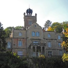
The castle was built in the early 1200s under Margrave Dietrich of Meissen as a small fortress. His successor Margrave Heinrich expanded it over the following decades into a considerably larger stronghold.
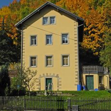
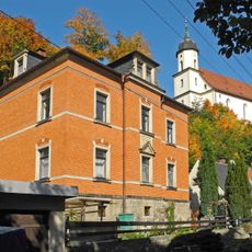
The ruin is a popular walking destination for people from Tharandt and nearby villages, who come up the hill for a short outing. Wooden tables and benches in the courtyard invite visitors to sit down and take in the view.
The site is freely accessible and can be explored without a set route. The path up the hill runs through woodland and is manageable on foot, though it is somewhat steep in places.
During the Hussite raid of 1429, valuable documents and treasures of the Electoral House were brought to the castle for safekeeping. This shows the site was still trusted as a place of refuge at that point, even though it no longer played a leading military role.
The community of curious travelers
AroundUs brings together thousands of curated places, local tips, and hidden gems, enriched daily by 60,000 contributors worldwide.