Tharandt, municipality in Saxony, Germany
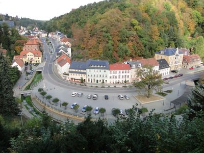
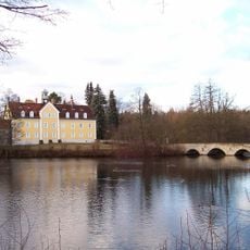
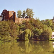
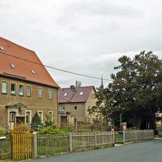
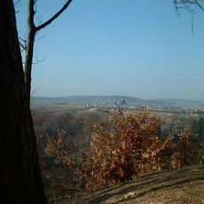
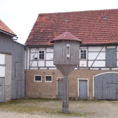
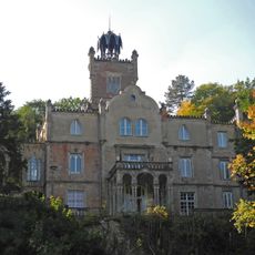
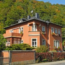
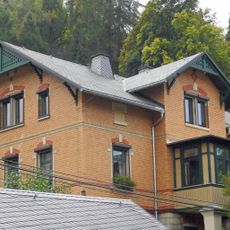
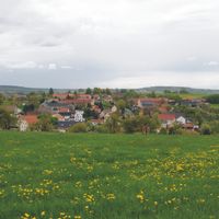
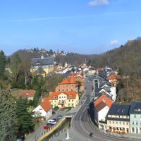
Tharandt is a small town in Saxony, nestled in a wooded valley of the Wilde Weißeritz river, roughly 12 miles (20 kilometers) southwest of Dresden. Its streets are lined with houses from different centuries, and the ruins of a medieval castle sit on a rocky outcrop just above the town.
Tharandt was founded in the 13th century, and its early growth was tied to the castle that controlled the valley and attracted trade and craftsmanship. In the early 19th century, the town gained wider attention when the first forestry academy in Saxony was established here.
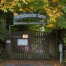
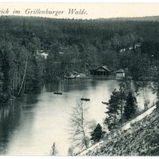
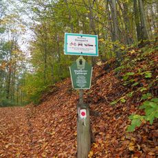
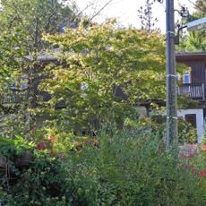
Tharandt is closely tied to forestry education, and the old botanical garden belonging to the forest academy is still open to visitors today. Walking through it, you can see tree species from many parts of the world planted by students and researchers over many decades.
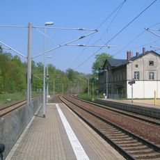
Tharandt is easy to reach by train from Dresden and works well as a half-day or full-day outing. The castle ruins and the botanical garden are close to each other and easy to explore on foot, so comfortable shoes are a good idea.
The botanical garden in Tharandt is one of the oldest forest botanical gardens in Germany, with some trees planted there since the early 19th century. A few of those trees were brought from other continents and were originally grown as teaching specimens for students of the forestry academy.
The community of curious travelers
AroundUs brings together thousands of curated places, local tips, and hidden gems, enriched daily by 60,000 contributors worldwide.