
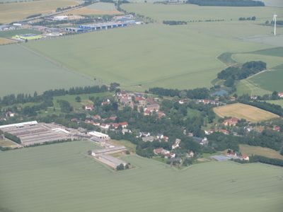
Deutschenbora, human settlement in Germany
Location: Nossen
Elevation above the sea: 234 m
GPS coordinates: 51.05960,13.36100
Latest update: March 3, 2025 08:14
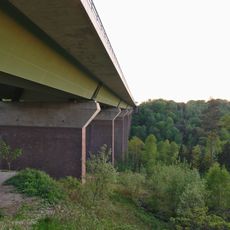
Autobahnbrücke Siebenlehn
4 km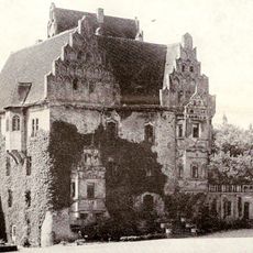
Schloss Heynitz
3.9 km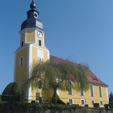
Kirche Deutschenbora
136 m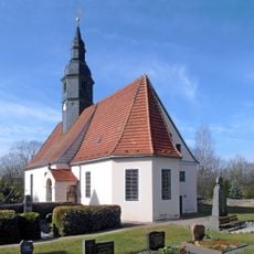
Kirche Tanneberg
3.8 km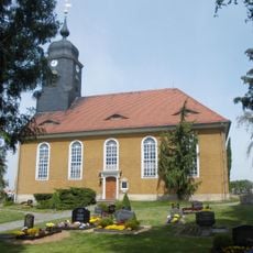
Kirche Wendischbora
2.5 km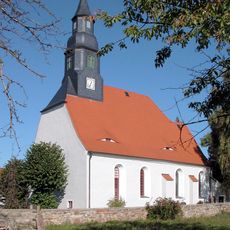
Dorfkirche Hirschfeld
2.5 km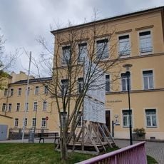
Schulgebäude (zwei Häuser, durch Laufgang miteinander verbunden) Seminarweg 4
3.7 km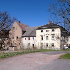
Freigut Katzenberg
3.7 km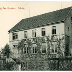
Tanneberger Schule: Ehemalige Schule Pfarrweg 4
3.7 km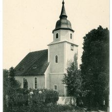
Kirche Heynitz
4 km
Torhaus
2.7 km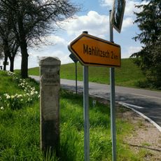
Distanzstein Wendischbora
2.3 km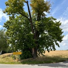
„Brüderlinden“ bei Tanneberg
2.6 km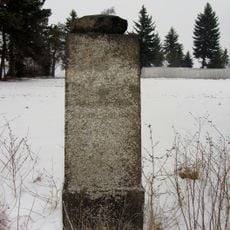
Station 74 Katzenberg
3.7 km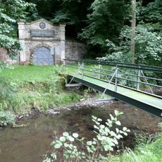
Rothschönberger Stolln
2.8 km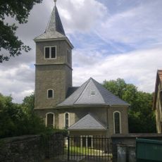
Dorfkirche Rothschönberg
2.4 km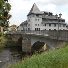
Pöppelmannbrücke Nossen
3.9 km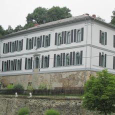
Schloss Wendischbora
2.8 km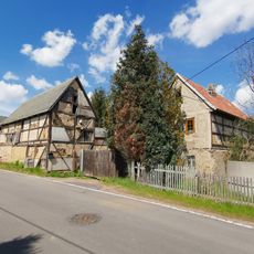
Wendischbora 25
2.3 km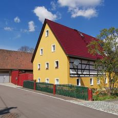
Wendischbora 27
2.2 km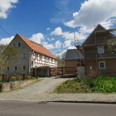
Wendischbora 22, 22a
2.3 km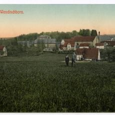
Rittergut Wendischbora
2.7 km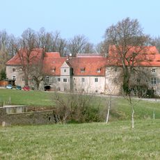
Schloss Rothschönberg
2.3 km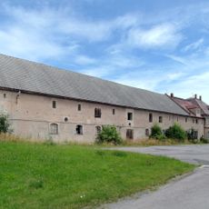
Stallgebäude und Inspektorenhaus
2.8 km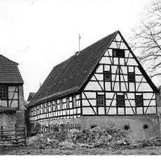
Wetzelmühle Rothschönberg
3.3 km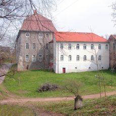
Schloss Tanneberg
3.9 km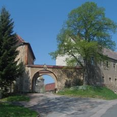
Rittergut Deutschenbora
159 m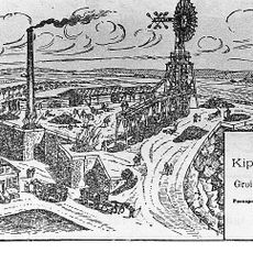
Kalköfen und Kalkbruch Rothschönberger Straße -
4 kmReviews
Visited this place? Tap the stars to rate it and share your experience / photos with the community! Try now! You can cancel it anytime.
Discover hidden gems everywhere you go!
From secret cafés to breathtaking viewpoints, skip the crowded tourist spots and find places that match your style. Our app makes it easy with voice search, smart filtering, route optimization, and insider tips from travelers worldwide. Download now for the complete mobile experience.

A unique approach to discovering new places❞
— Le Figaro
All the places worth exploring❞
— France Info
A tailor-made excursion in just a few clicks❞
— 20 Minutes