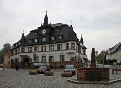
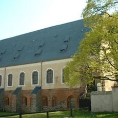
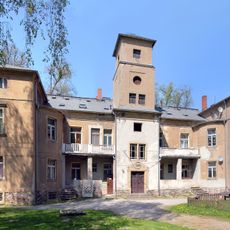
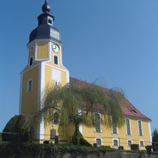
Nossen, town in the district of Meißen, in the Free State of Saxony, Germany
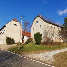
Nossen is a town in Saxony with a layered structure that includes several neighborhoods and residential areas spread across the terrain. The layout shows typical German town planning with housing zones, local commerce, and green spaces woven throughout.
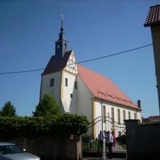
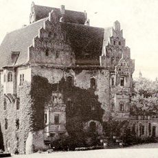
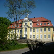
The town grew during the medieval period and was shaped by its location in Saxony, a region central to German history. Its development followed patterns tied to regional commerce and social structures that formed the community over generations.
The town's name comes from a Slavic word for river, reflecting its deep historical connection to water. Visitors can still sense this relationship today through how the settlement is organized around its waterways and how local life relates to them.
The town is best explored on foot, with various neighborhoods within walking distance of each other. Visitors should wear sturdy shoes since the terrain is somewhat hilly and certain paths have uneven surfaces.
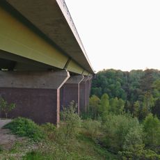
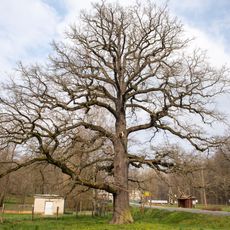
The town sits in an area with rich natural surroundings and river landscapes that are easily accessible to visitors. This closeness to intact natural spaces makes it a quiet refuge that stands apart from larger urban hubs.
Location: Meissen District
Elevation above the sea: 259 m
Shares border with: Lommatzsch, Reinsberg
Website: https://nossen.de
GPS coordinates: 51.05000,13.30000
Latest update: December 14, 2025 17:04
Altzella Abbey
2 km
Rittergut Pinnewitz
8.1 km
Schloss Nossen
922 m
Bieberstein Castle
5.3 km
Castle Schleinitz
12.8 km
Nossen station
1.3 km
Autobahnbrücke Siebenlehn
1.8 km
Dorfkirche Rüsseina
7.3 km
Schloss Heynitz
7.5 km
Schloss Choren
6.8 km
Marienkirche
12.6 km
Church Nossen
949 m
Automuseum Nossen
946 m
Depot von Wauden
13 km
Trockenhänge südöstlich Lommatzsch
14.7 km
Großholz
13.4 km
Kirche Deutschenbora
4.3 km
Rodigtturm
626 m
Goethestraße 7
911 m
Denkmalgeschützte Brücken der Bahnstrecke Riesa–Nossen in Leuben
12.6 km
Schule mit Turnhalle und Stützmauer des Vorplatzes sowie Brunnenhaus auf dem Schulhof Schulstraße 19
872 m
Straßenbrücke über die Bahnstrecke in Neubodenbach
3.8 km
Kirche Wendischbora
4.5 km
Zollhauseiche
4.5 km
Memorial stone for the naturalist Amalie Dietrich Otto-Altenkirch-Straße 31 (before)
2.2 km
Kirchbergstraße 6
7 km
Schulgebäude (zwei Häuser, durch Laufgang miteinander verbunden) Seminarweg 4
1.1 km
Brücke am Lindigt-Gut über das Schänitzer Wasser
9.4 kmVisited this place? Tap the stars to rate it and share your experience / photos with the community! Try now! You can cancel it anytime.
Discover hidden gems everywhere you go!
From secret cafés to breathtaking viewpoints, skip the crowded tourist spots and find places that match your style. Our app makes it easy with voice search, smart filtering, route optimization, and insider tips from travelers worldwide. Download now for the complete mobile experience.
A unique approach to discovering new places❞
— Le Figaro
All the places worth exploring❞
— France Info
A tailor-made excursion in just a few clicks❞
— 20 Minutes