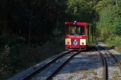
Augustusburg Cable Railway, Historical funicular railway in Saxony, Germany.
The Augustusburg Cable Railway connects two valley and hilltop locations, climbing a grade of about 170 meters between them. The system uses two counterbalanced cars that travel on a single rail with a passing loop to let them move in opposite directions.
The railway began operations in 1911 after a license was granted the previous year. It was built to move people more quickly between the valley and the town above.
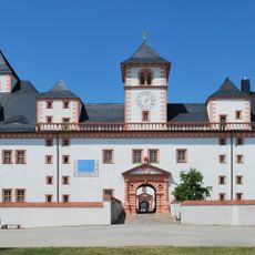
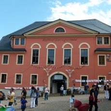
The station buildings show architectural features from the early 1900s that remain visible today. Visitors experience a piece of industrial heritage that continues to function on its original route.
The ride takes just a few minutes and boarding is straightforward at both stations. Plan your visit on clear days to enjoy the surrounding landscape during the journey.
The railway uses a gauge of 1 meter, which is uncommonly seen in Germany. This technical choice allows the system to handle very steep inclines exceeding 20 percent slope.
The community of curious travelers
AroundUs brings together thousands of curated places, local tips, and hidden gems, enriched daily by 60,000 contributors worldwide.