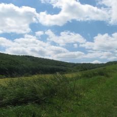
Eisberg, Mountain summit in Hesse, Germany.
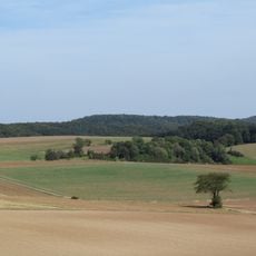
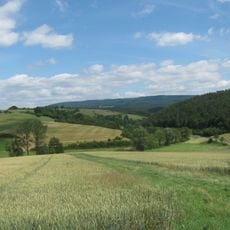
Eisberg is a mountain summit in Hesse located within the Fulda-Werra Uplands and rises to approximately 583 meters. The terrain is densely covered in forest with natural rock formations that shape the landscape.
The Eisberg lies on the boundary of Spangenberg, Hessisch Lichtenau and Waldkappel, with its summit in Waldkappel near Hetzerode; the district border of Schwalm-Eder and Werra-Meißner runs about 100 m southwest of the top. The northern slopes belong to the Geo-Naturpark Frau-Holle-Land, whose southern boundary crosses the summit. About 3 km northwest, across the Vockebach valley, stands the ruined Reichenbach Castle on the 522.3 m Schlossberg.
Three long-distance routes cross the Eisberg: the Weg der Deutschen Einheit, the Bartenwetzerpfad and the Franzosenstraße. The last name recalls the old road over the Stölzinger Höhe, and the summit marks the southern boundary of the Frau-Holle-Land Geo-Naturpark, named after the Frau Holle figure of local legend.
The summit lies on the boundary of Spangenberg, Hessisch Lichtenau and Waldkappel, with the county border running about 100 m southwest of it. Approaches start from roads such as the L 3249 near Reichenbach, the L 3227 between Hetzerode and Bischofferode, or the side road to Wollstein. The summit can be reached on mostly forest tracks and paths; the Wanderweg der Deutschen Einheit, the Bartenwetzerpfad and the Franzosenstraße pass over or by the hill.
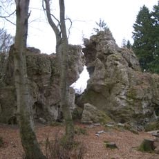
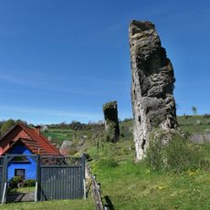
The summit sits exactly on the boundary between the Schwalm-Eder and Werra-Meißner districts, and the southern edge of the Frau-Holle-Land Geo-Nature Park runs over the top. Three long-distance trails pass the peak: the Weg der Deutschen Einheit, the Bartenwetzerpfad and the Franzosenstraße. About 1.3 km northeast stand the Große Steine, dolomite crags protected as a natural monument.
The community of curious travelers
AroundUs brings together thousands of curated places, local tips, and hidden gems, enriched daily by 92,806 contributors worldwide.