Fellner-Doline, Natural sinkhole in Gößweinstein, Germany
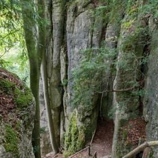
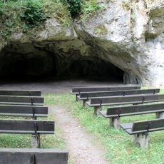
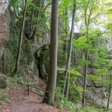
Fellner-Doline is a sinkhole at the southern foot of the Breitenberg, one kilometre east of Gößweinstein. Its cave, reached through a secured entrance west of a seven-metre-deep doline, runs 384 metres long and 97.6 metres deep, making it one of the deepest caves in the Franconian Jura.
Hans Brand opened up the cave beneath the doline in 1899 by digging and blasting. The cave runs 384 metres long and reaches a total depth of 97.6 metres, making it one of the deepest in the Franconian Jura. Dye tracing later proved a direct link to the Stempfermühlquelle, 1.6 kilometres away in the Wiesent valley.
The 5.7-kilometre circular geological trail "Von der Fellner-Doline zur Stempfermühlquelle" was laid out by Gößweinstein cave researcher Ferdinand Haselmeier. Information boards along the route explain the geology, and the exact course is available on OpenStreetMap.
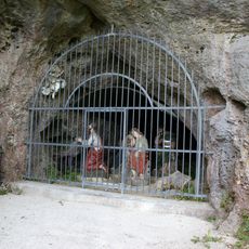
The secured cave entrance lies west of a seven-metre-deep doline and is kept locked at all times; entry is reserved for very experienced speleologists. The cave is registered as D 99 in the Franconian Jura cave register and is a designated geotope and natural monument. A 5.7 km geological circular trail, "Von der Fellner-Doline zur Stempfermühlquelle", with information boards, starts here; its route is shown on OpenStreetMap.
Tracer tests with contrasting water proved a direct link between the Fellner-Doline and the Stempfermühlquelle in the Wiesent valley, 1.6 km away. The cave beneath the doline is 384 m long and 97.6 m deep, making it one of the deepest in the Franconian Jura.
The community of curious travelers
AroundUs brings together thousands of curated places, local tips, and hidden gems, enriched daily by 94,361 contributors worldwide.