
Emmershausen, municipal district of Weilrod in Hochtaunuskreis, Germany
Location: Weilrod
Elevation above the sea: 244 m
Shares border with: Wolfenhausen (Taunus)
GPS coordinates: 50.36460,8.37683
Latest update: March 18, 2025 20:48
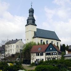
Saint Margaret of Antioch Church
3.7 km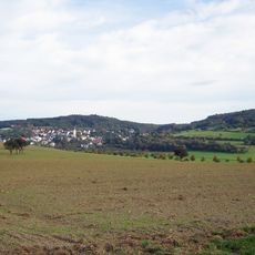
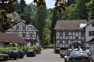
Koberg
4.3 km
Ziegelhütte
3.3 km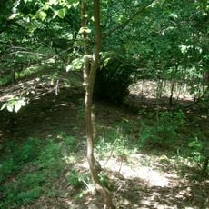
Ringwall Rentmauer
2.6 km
Burg Emmershausen
57 m
Schulgebäude Schulstraße 4 (Haintchen)
4.2 km
Kirche Emmershausen
56 m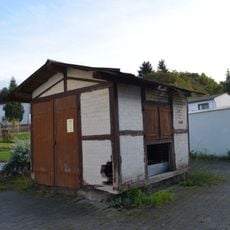
Alte Viehwaage
3.6 km
Evangelische Kirche
2.5 km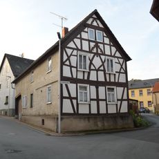
Schulstraße 1
3.7 km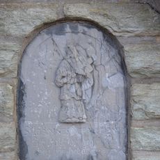
Brunnen am Freien Platz in Haintchen
4.2 km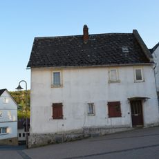
Mittelstraße 15
4.3 km
St. Nikolaus (Haintchen)
4.3 km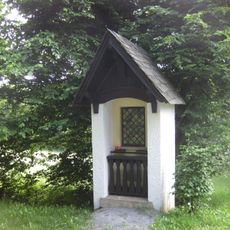
Bildstock mit Votivtafel o. Abb.
3.7 km
Schulstraße 2
3.7 km
Hessenstraße 24
4.3 km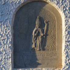
Bildstock mit Votivtafel
4.2 km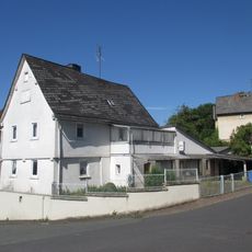
Mittelstraße 9
4.2 km
Mittelstraße 4
4.2 km
Langgasse 10
3.7 km
Mittelstraße 1
4.3 km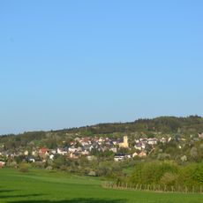
Gesamtanlage Haintchen
4.3 km
Alte Schule
3.7 km
Wedegasse 6
3.6 km
Schulstraße 3
3.7 km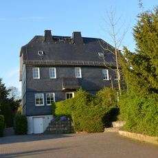
Mittelstraße 18
4.2 km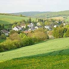
Gesamtanlage Langenbach
3.7 km
Mittelstraße 16
4.3 kmVisited this place? Tap the stars to rate it and share your experience / photos with the community! Try now! You can cancel it anytime.
Discover hidden gems everywhere you go!
From secret cafés to breathtaking viewpoints, skip the crowded tourist spots and find places that match your style. Our app makes it easy with voice search, smart filtering, route optimization, and insider tips from travelers worldwide. Download now for the complete mobile experience.

A unique approach to discovering new places❞
— Le Figaro
All the places worth exploring❞
— France Info
A tailor-made excursion in just a few clicks❞
— 20 Minutes