Großer Kalmberg, Mountain summit in Ilm-Saale-Platte, Thuringia, Germany
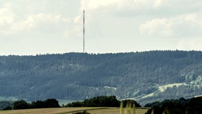
Großer Kalmberg is a hill summit in the Ilm-Saale-Platte region reaching approximately 548 meters (1,800 feet) with limestone rock formations. Dense pine forests cover both the northern and southern slopes.
The hill served as a military helicopter landing site during the German Democratic Republic period operated by the National People's Army's anti-aircraft division. This military use shaped the area's history during the Cold War era.
The summit marks a boundary between neighboring districts and serves as a shared landmark for the surrounding villages. Local communities recognize this elevation as a defining feature of their countryside.
Multiple marked hiking trails lead from the nearby town of Stadtilm to the summit with varying difficulty levels. The paths are clearly signposted allowing visitors of different fitness levels to choose routes that suit their abilities.
The southern slope contains protected natural areas featuring limestone grasslands, rock formations, and small wetland habitats. This mosaic of different environments supports diverse regional plant and animal life within a compact space.
The community of curious travelers
AroundUs brings together thousands of curated places, local tips, and hidden gems, enriched daily by 60,000 contributors worldwide.