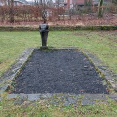
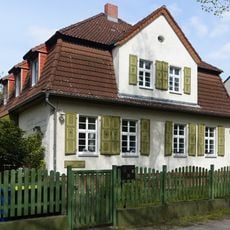
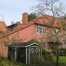
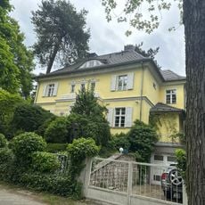
Entenschnabel Glienicke, Former district boundary in Glienicke/Nordbahn, Germany
The Entenschnabel Glienicke is a former border area that extends roughly 570 meters into Berlin's territory, measuring about 120 meters wide at its broadest point. The street Am Sandkrug connects this section to Berlin and runs alongside the Oranienburger Chaussee.
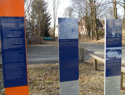
This border area formed due to the territorial divisions of the 20th century and became a symbol of separation between 1961 and 1989. During those years, people dug tunnels beneath the area in attempts to reach West Berlin.
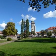
Residents gave this area its name, Entenschnabel, meaning duck's beak, because of how it juts into Berlin in a distinctive pointed shape. You can still see today how the land forms this unusual projection.
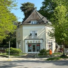
You can reach this site on foot or by bicycle using the street Am Sandkrug, which takes you past memorial plaques along the B96. Access to the area is straightforward, though ground conditions may vary depending on the season.
At its narrowest point, this area measures only 50 meters across, creating a strikingly thin peninsula jutting into Berlin. This dramatic compression of space was what made the border so unusual during division.
The community of curious travelers
AroundUs brings together thousands of curated places, local tips, and hidden gems, enriched daily by 60,000 contributors worldwide.