
Fahrland, village in Brandenburg state, Germany
Location: Potsdam
Elevation above the sea: 33 m
Part of: Potsdam
GPS coordinates: 52.46750,13.01390
Latest update: March 5, 2025 19:14
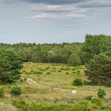
Döberitzer Heide
3.3 km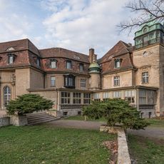
Schloss Marquardt
3.6 km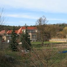
Villa Adlon
3.7 km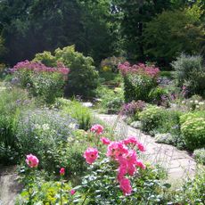
Karl-Foerster-Garten
5.2 km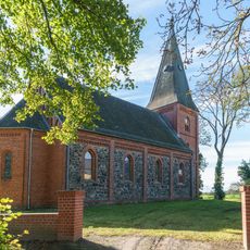
Village church Kartzow
3.7 km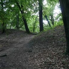
Römerschanze bei Potsdam
4.2 km
Helmertturm
4.7 km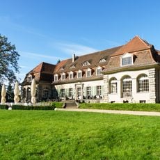
Schloss Kartzow
3.5 km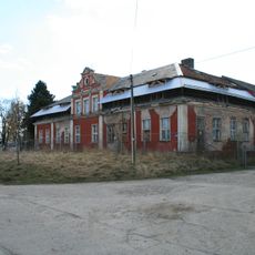
Gutshaus Satzkorn
1.8 km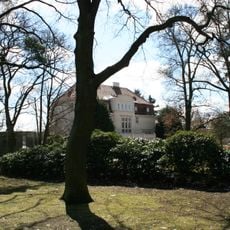
Villa von Diringshofen
3.8 km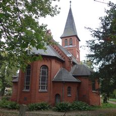
Village church Marquardt
3.5 km
Ferbitzer Bruch
3.5 km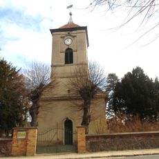
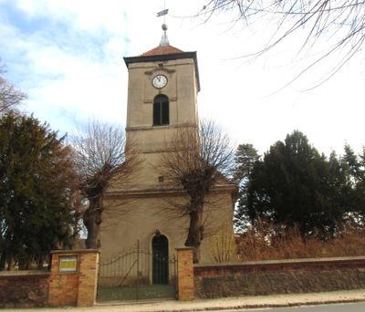
Village church Fahrland
30 m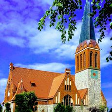
Dorfkirche Bornim
5 km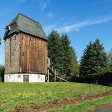
Bockwindmühle
1.4 km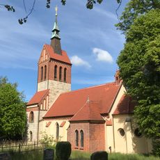
Dorfkirche Uetz (Potsdam)
5 km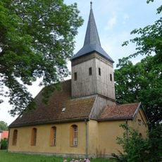
Village church Satzkorn
1.9 km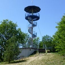
Finkenberg Observation Tower
3.7 km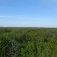
Königswald mit Havelseen und Seeburger Agrarlandschaft
3.6 km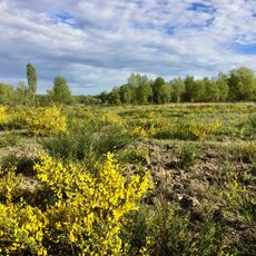
Döberitzer Heide
4.9 km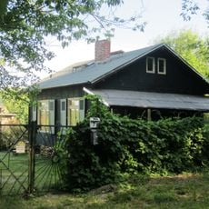
Fährweg 7
4.3 km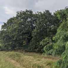
Stiel-Eiche bei Marquardt
3.2 km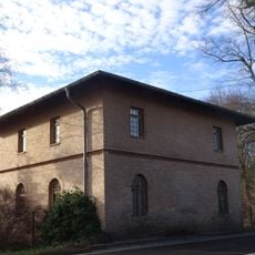
Chausseehaus Bornim
4.1 km
Döberitzer Heide
3.6 km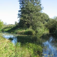
U. Rhinluch/Dreetzer See, Havell. Luch und Belziger Landschaftsw.
1.9 km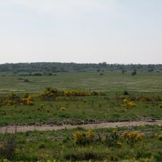
Ferbitzer Bruch
3.4 km
Haus Bonk
5.1 km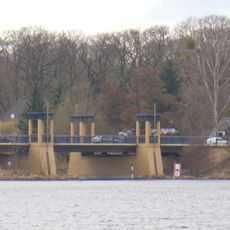
Nedlitz North Bridge
3.7 kmReviews
Visited this place? Tap the stars to rate it and share your experience / photos with the community! Try now! You can cancel it anytime.
Discover hidden gems everywhere you go!
From secret cafés to breathtaking viewpoints, skip the crowded tourist spots and find places that match your style. Our app makes it easy with voice search, smart filtering, route optimization, and insider tips from travelers worldwide. Download now for the complete mobile experience.

A unique approach to discovering new places❞
— Le Figaro
All the places worth exploring❞
— France Info
A tailor-made excursion in just a few clicks❞
— 20 Minutes