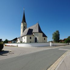
Teisenberg, Mountain summit in Bavaria, Germany.
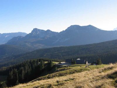
Teisenberg is a mountain in the Chiemgau Alps of southeastern Bavaria, rising to 1,333 meters (4,373 ft). Its slopes combine open meadows and mixed forest, with the tree line giving way to open ground near the top.
Marked trails on the Teisenberg were laid out by the Deutschen Alpenverein in the early 20th century, opening the mountain to regular hikers. Those original routes have been kept up ever since and are still the main paths used today.
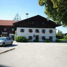
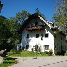
Cattle graze on the open meadows of the upper slopes in summer, and the sound of cowbells carries across the hillside. The two alpine huts on the way up serve simple food and drinks, and stopping there has become a natural part of the walk for most visitors.
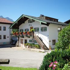
Several trails lead up from different starting points in the surrounding valleys, so the approach can be chosen depending on where you park or stay. Sturdy footwear and an extra layer are a good idea, since the top tends to be cooler than the valley.
From the top of the Teisenberg, the Northern Limestone Alps are visible in the distance, rising nearly 500 meters higher than where you stand. This contrast gives a clear sense of how the mountain sits at the edge between the Bavarian foothills and the high alpine ranges behind them.
The community of curious travelers
AroundUs brings together thousands of curated places, local tips, and hidden gems, enriched daily by 60,000 contributors worldwide.