
Galgenhof, district of Nuremberg
Location: Nuremberg
Shares border with: Steinbühl
GPS coordinates: 49.43920,11.08220
Latest update: March 3, 2025 13:44
Gustav-Adolf-Gedächtniskirche (Lichtenhof, Nuremberg)
553 m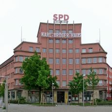
Karl-Bröger-Straße 9
559 m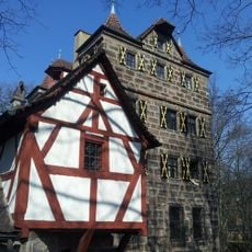
Petzenschloss (Nürnberg)
493 m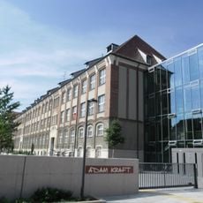
Adam-Kraft-Realschule
424 m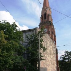
Christuskirche
479 m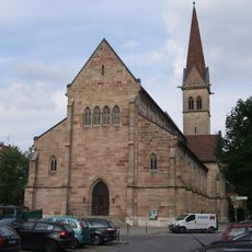
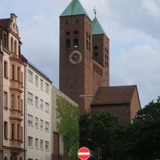
Sacred Heart Church
434 m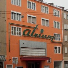
Atrium Filmpalast
567 m
Peter-Henlein-Straße 71
375 m
Tafelfeldstraße 65
379 m
Hinterm Bahnhof 35
601 m
Glockenhofstraße 28
823 m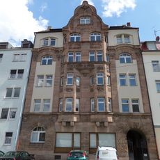
Wirthstraße 27
431 m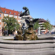
Nymphenbrunnen
319 m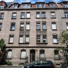
Bogenstraße 39
460 m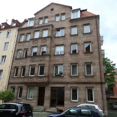
Bönerstraße 10 (D-5-64-000-237)
339 m
Bönerstraße 13
307 m
Bönerstraße 15 (D-5-64-000-240)
312 m
Endterstraße 7
463 m
Bönerstraße 8 (D-5-64-000-235)
343 m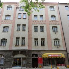
Humboldtstraße 82
345 m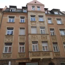
Bönerstraße 5
317 m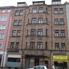
Landgrabenstraße 130
312 m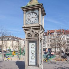
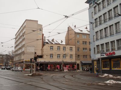
Clock tower on Aufseßplatz
353 m
Peter-Henlein-Straße 85
376 m
Pillenreuther Straße 35
196 m
Guttenbergplatz 9 (D-5-64-000-2315)
616 m
Tafelfeldstraße 71
376 m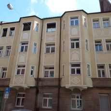
Tafelfeldstraße 69
377 mReviews
Visited this place? Tap the stars to rate it and share your experience / photos with the community! Try now! You can cancel it anytime.
Discover hidden gems everywhere you go!
From secret cafés to breathtaking viewpoints, skip the crowded tourist spots and find places that match your style. Our app makes it easy with voice search, smart filtering, route optimization, and insider tips from travelers worldwide. Download now for the complete mobile experience.

A unique approach to discovering new places❞
— Le Figaro
All the places worth exploring❞
— France Info
A tailor-made excursion in just a few clicks❞
— 20 Minutes