Ruhrgebiet Geopark, geopark
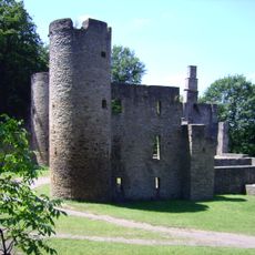
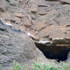
The Geopark Ruhrgebiet covers 4,500 km² across the Ruhr region and parts of the Bergisches Land, Münsterland and Lower Rhine. It is the world's first geopark in an urban conurbation to focus on a region's mining history. Three national geotopes lie within it: the Muttental in Witten, the Ziegeleigrube Vorhalle fossil site in Hagen and the Felsenmeer karst landscape in Hemer.
The GeoPark Ruhrgebiet association was founded on 26 May 2004 by the Geological Survey of North Rhine-Westphalia and the Regionalverband Ruhr, then the Kommunalverband Ruhrgebiet. It was certified as a Nationaler Geopark in November 2006, the first geopark worldwide in an urban conurbation to take a region's mining history as its central theme. In 2013 the trace fossil Ichniotherium praesidentis was recovered at Bochum-Stiepel and taken to the Deutsches Bergbau-Museum Bochum for study.
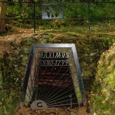
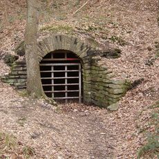
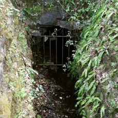
The Geopark reflects the region's deep connection to its mining heritage and how people use the landscape to explore their local history. Visitors walk historical routes and visit old mines to understand how underground work shaped both the community and the terrain.
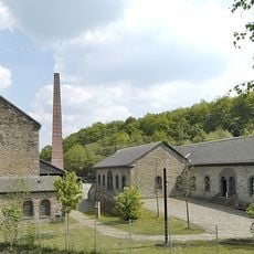
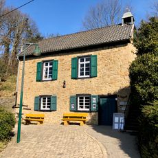
Visitors can explore the region through two main centers, one at Zeche Nachtigall and one in Ennepetal, both offering informative exhibitions. The area is easy to reach from nearby cities, and many walking and cycling trails suit beginners and families.
In 2013, the trace fossil Ichniotherium praesidentis was recovered at Bochum-Stiepel and taken to the Deutsches Bergbau-Museum Bochum for study. The track was made by a prehistoric land vertebrate, later nicknamed "Fährtinand". The find had been discovered only the year before.
The community of curious travelers
AroundUs brings together thousands of curated places, local tips, and hidden gems, enriched daily by 94,416 contributors worldwide.