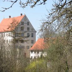
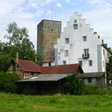
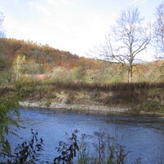
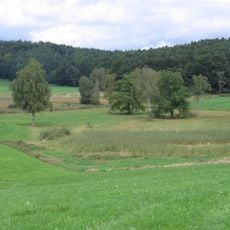
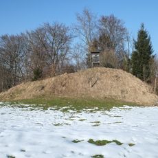
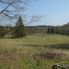
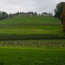
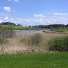
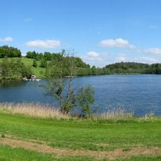
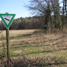
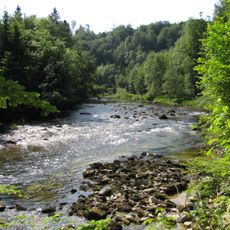
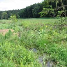
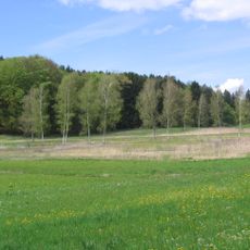
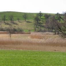
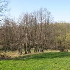
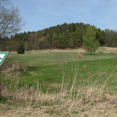
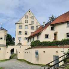
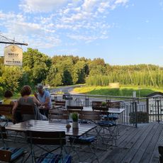
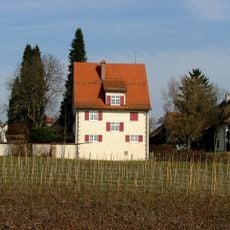
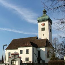
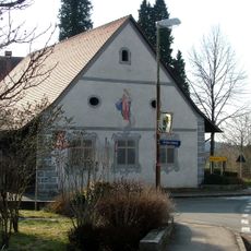
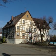
Langnau, quarter of Tettnang, Baden-Württemberg, Germany
Location: Tettnang
Elevation above the sea: 450 m
GPS coordinates: 47.63083,9.65694
Latest update: March 10, 2025 18:36
Schloss Achberg
4.2 km
Drackenstein
2.1 km
Burg Gießen
4.4 km
Burgruine Altsummerau
1.3 km
Burgrest Neusummerau
3.2 km
Argen
4.1 km
Berger Weiher
4.1 km
Davidskäpfle (Rattenweiler)
1.8 km
Birkenweiher
3.3 km
Lenensburg
4 km
Kreuzweiher-Langensee
2.7 km
Seenplatte und Hügelland südlich der Argen und Nonnenbachtal (2 Teilgebiete)
2.7 km
Hermannsberger Weiher
3.3 km
Achberg
3.4 km
Schachried
3 km
Schönmoos
3.5 km
Hirrensee
1.5 km
Eiszeitliche Ränder des Argentals mit Argenaue
4.4 km
Buchbach
2.1 km
Loderhof-Weiher
1.7 km
Argen und Feuchtgebiete bei Neukirch und Langnau
1.4 km
Schloß Achberg
4.2 km
Kreuz
3.7 km
Rectory
4.6 km
St. Urban und St. Silvester
4.5 km
Pfarrstadel
4.6 km
Ehemaliger Pestfriedhof nordwestlich des Ortes
4.3 km
Gasthaus zum Adler
4.6 kmReviews
Visited this place? Tap the stars to rate it and share your experience / photos with the community! Try now! You can cancel it anytime.
Discover hidden gems everywhere you go!
From secret cafés to breathtaking viewpoints, skip the crowded tourist spots and find places that match your style. Our app makes it easy with voice search, smart filtering, route optimization, and insider tips from travelers worldwide. Download now for the complete mobile experience.
A unique approach to discovering new places❞
— Le Figaro
All the places worth exploring❞
— France Info
A tailor-made excursion in just a few clicks❞
— 20 Minutes