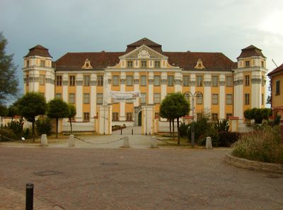
Tettnang, Urban municipality in Bodenseekreis district, Germany.
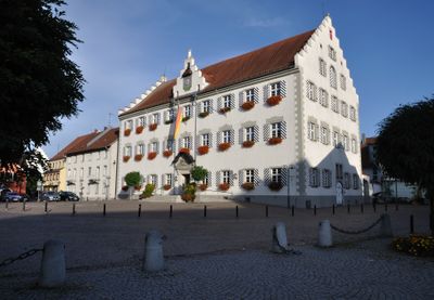
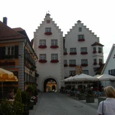
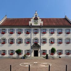
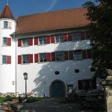
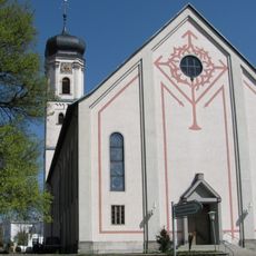
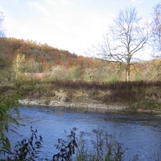
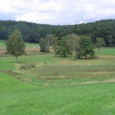
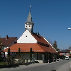
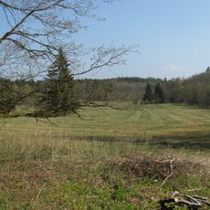
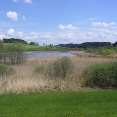
Tettnang is a town in Baden-Württemberg near Lake Constance and spreads across an agricultural area. The settlement sits at about 466 meters elevation and combines residential neighborhoods with extensive fields and hopfields.
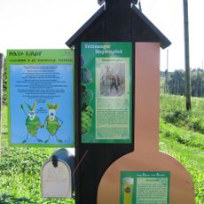
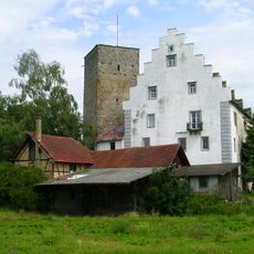
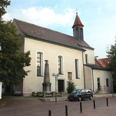
The town received city rights in 1294 from King Adolf of Nassau and was ruled for centuries by the Counts of Montfort. In 1780 the Montforts sold the area to Austria, which changed the region's political path.
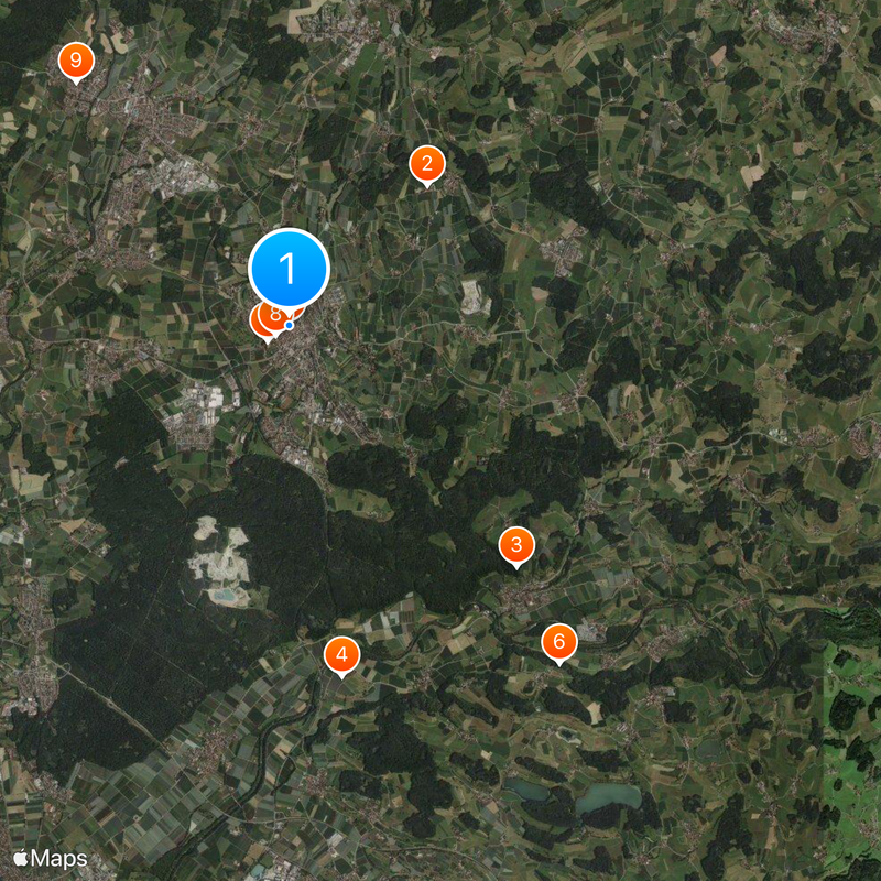
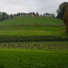
The town is known worldwide for hop cultivation, which shapes the landscape and daily work throughout the region. Visitors see hopfields everywhere with their distinctive tall trellises that define the local scenery.
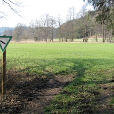
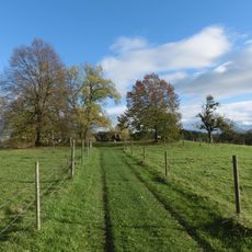
Buses connect Tettnang regularly with Friedrichshafen and other places in the Bodenseekreis, with service throughout the day. Visitors should expect good paths for walking into the surrounding hopfields and countryside.
The Linux operating system Fedora named its second release after Tettnang in honor of the town's global importance in hop cultivation. This recognition shows how the hop heritage of the place is reflected in computer culture.
Location: Bodenseekreis
Location: Tettnang VVG
Capital city: Tettnang
Elevation above the sea: 466 m
Shares border with: Eriskirch
Website: https://tettnang.de
GPS coordinates: 47.67166,9.58912
Latest update: December 14, 2025 18:49
Photo license: CC0
Tettnanger Hopfenpfad
2.8 km
Drackenstein
4.7 km
Burg Gießen
5.1 km
Tettnang Castle
394 m
Burgruine Altsummerau
6.2 km
Torschloss
41 m
Altes Schloss
240 m
Humpisschloss Brochenzell
4.6 km
Pfarrkirche St. Gallus
204 m
Argen
7 km
Berger Weiher
7 km
Pfarrkirche St. Jakobus (Brochenzell)
4.6 km
Uhlandschule
263 m
Loretokapelle
477 m
Davidskäpfle (Rattenweiler)
5.7 km
Birkenweiher
3.8 km
Geowanderweg Tettnang
2.9 km
Lenensburg
5.6 km
Kreuzweiher-Langensee
8 km
Knellesberger Moos
4.1 kmRömisches Bad bei Kressbronn-Betznau
5.6 km
Georgskapelle (Tettnang)
264 m
Former Cemetery Chapel
449 m
Höhe 493,8 südlich Tettnang bei Schäferhof
1.4 km
Wasenmoos
2.7 kmEndmoränenwall und Flachmoor nördlich Rappertsweiler
6.3 km
Seenplatte und Hügelland südlich der Argen und Nonnenbachtal (2 Teilgebiete)
7.3 km
Bodenseeuferlandschaft östlich Friedrichshafen
6.8 kmVisited this place? Tap the stars to rate it and share your experience / photos with the community! Try now! You can cancel it anytime.
Discover hidden gems everywhere you go!
From secret cafés to breathtaking viewpoints, skip the crowded tourist spots and find places that match your style. Our app makes it easy with voice search, smart filtering, route optimization, and insider tips from travelers worldwide. Download now for the complete mobile experience.
A unique approach to discovering new places❞
— Le Figaro
All the places worth exploring❞
— France Info
A tailor-made excursion in just a few clicks❞
— 20 Minutes