
Ruppertshütten, Ortsteil of Lohr am Main
Location: Lohr am Main
Elevation above the sea: 340 m
Shares border with: Rengersbrunn, Burgsinn, Herrnwald, Ruppertshüttener Forst, Langenprozelten
GPS coordinates: 50.08170,9.54500
Latest update: March 21, 2025 15:10
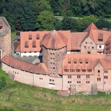
Burg Rieneck
7.4 km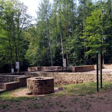
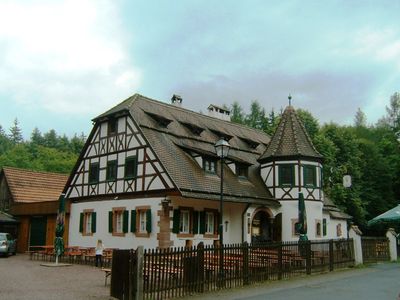
Kloster Einsiedel
3 km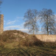
Burgruine
5.1 km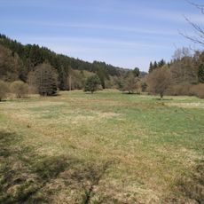
Spessartwiesen
7.4 km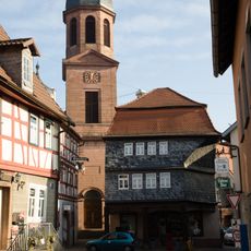
Pfarrkirche
7.5 km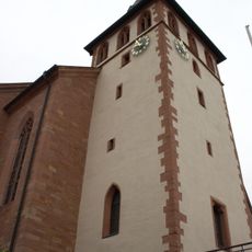
St. Bartholomäus
5.9 km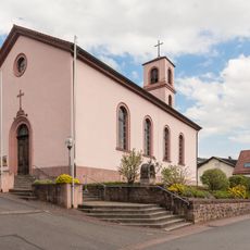
Saalkirche
4.8 km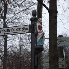
Katharinenbild
4 km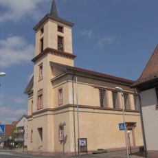
Christ Church (Partenstein)
4.9 km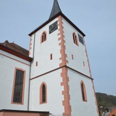
St. Matthäus
7 km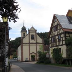
Mariä Geburt
4 km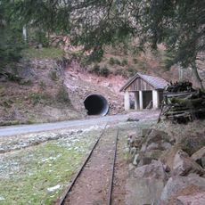
Schwerspatgrube Erichstollen NE von Partenstein
3.9 km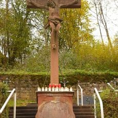
Friedhof
7.4 km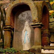
Prozessionsaltar
7.2 km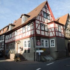
Wohnhaus
7.5 km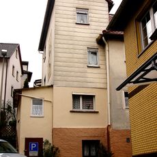
Jüdisches Wohnhaus
7.4 km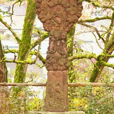
Bildstock
7.5 km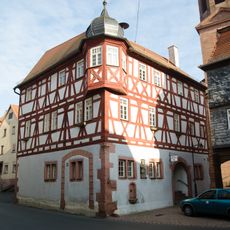
Rathaus
7.5 km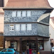
Wohnhaus
7.5 km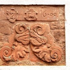
Relief
7.5 km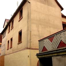
Wohnhaus
7.5 km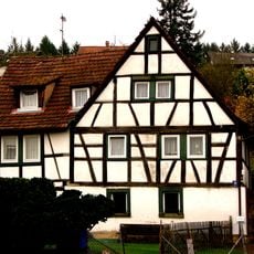
Wohnhaus
7.4 km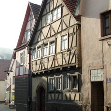
Wohnhaus
7.5 km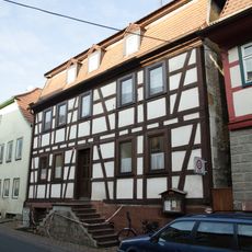
Wohnhaus
7.5 km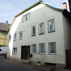
Doppelhaus
7.4 km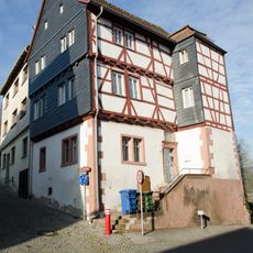
Wohnhaus
7.5 km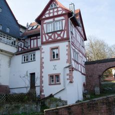
Wohnhaus
7.5 km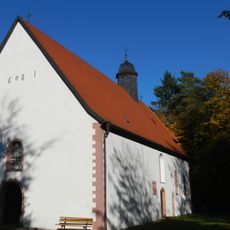
Kapelle
7.5 kmReviews
Visited this place? Tap the stars to rate it and share your experience / photos with the community! Try now! You can cancel it anytime.
Discover hidden gems everywhere you go!
From secret cafés to breathtaking viewpoints, skip the crowded tourist spots and find places that match your style. Our app makes it easy with voice search, smart filtering, route optimization, and insider tips from travelers worldwide. Download now for the complete mobile experience.

A unique approach to discovering new places❞
— Le Figaro
All the places worth exploring❞
— France Info
A tailor-made excursion in just a few clicks❞
— 20 Minutes