Enable Location

We need your location to show you interesting places around you

Discover nearby places

Find interesting locations and hidden gems around you

Precise directions

Get accurate directions and distances to places

Your location is never shared with other users. It's only used when you tap the location button.

Glingebachtalsperre

Log in to your account

Start exploring — it's free

Trusted by 62,846 travelers worldwide

Continue with Google
Continue with Apple
or

We will send you a code to connect

By continuing, you accept our Terms and Conditions and our Privacy Policy

Check your inbox

We've sent a pincode in your inbox. Please enter the code below.

Glingebachtalsperre

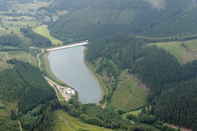
Glingebachtalsperre, reservoir

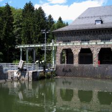
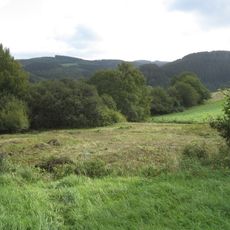
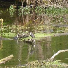
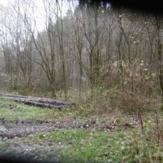
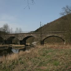
The Glingebachtalsperre is a dam near Finnentrop in North Rhine-Westphalia that holds back water from the Glinge stream, stretching approximately 750 meters (2,460 feet) across. It forms part of a pumped-storage power system and sits surrounded by dense forests that shape the surrounding landscape.

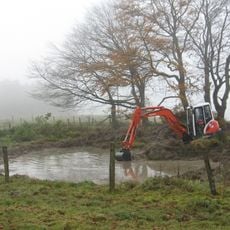
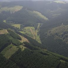
The dam and Rönkhausen pumped-storage facility were built in 1969 to generate electricity during peak demand and manage water flow in the region. This project became part of a water management system that has regulated river flows and energy supply in the Sauerland for decades.

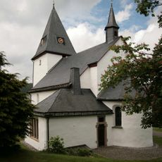
The reservoir draws its name from the Glinge stream, a waterway with roots in the region's medieval past according to local accounts. Visitors and residents alike use this quiet setting as a retreat from daily life, finding peace in the forest and water.

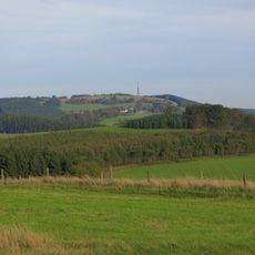
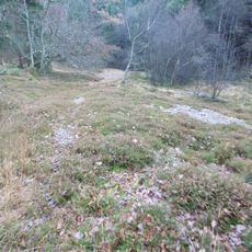
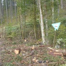
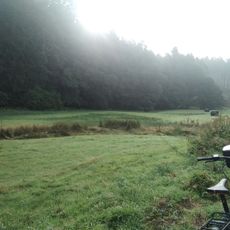
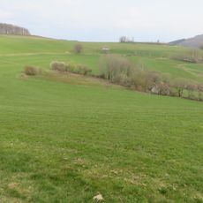
A walking trail around the reservoir is about 14 kilometers (8.7 miles) long and takes just under four hours; the path is well-maintained and winds through forests and along the water. The area is also accessible for cycling and fishing, though visitors should respect local regulations and the environment.

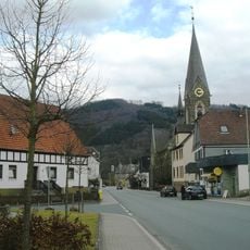
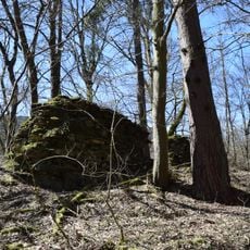
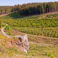
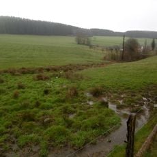
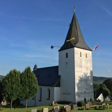
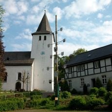
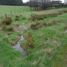
The area is part of the Christine-Koch-Weg, a hiking trail spanning over 120 kilometers that passes through forests, fields, and small villages, offering walkers insights into the quiet life of the region. This extended route connects several landscape types and reveals the network of smaller water resources scattered throughout the area.

The community of curious travelers

AroundUs brings together thousands of curated places, local tips, and hidden gems, enriched daily by 60,000 contributors worldwide.

Start exploring
Location
GPS coordinates
51.22580,7.99028
Latest update
February 9, 2026 07:41
« Glingebachtalsperre - reservoir » is provided by Around Us (aroundus.com). Images and texts are derived from Wikimedia project under a Creative Commons license. You are allowed to copy, distribute, and modify copies of this page, under the conditions set by the license, as long as this note is clearly visible.

Discover hidden gems everywhere you go!

From secret cafés to breathtaking viewpoints, skip the crowded tourist spots and find places that match your style. Our app makes it easy with voice search, smart filtering, route optimization, and insider tips from travelers worldwide. Download now for the complete mobile experience.

Around Us App Screenshot

A unique approach to discovering new places

Le Figaro

All the places worth exploring

France Info

A tailor-made excursion in just a few clicks

20 Minutes

Around Us
Travel Guide & Maps
Download

Send to your phone

QR Code
1

Open the camera app on your mobile.

2

Point at the QR code with your camera. A notification will appear.

3

Tap the notification to open the link.