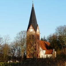
Gotteskoog, Land reclamation area in Nordfriesland district, Germany.
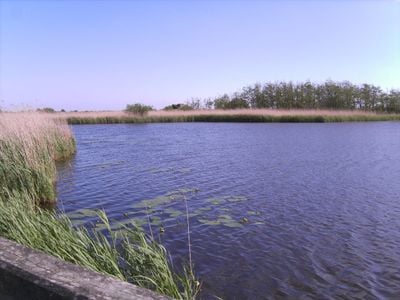
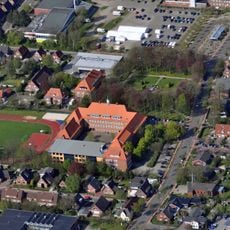
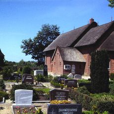
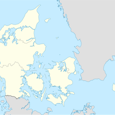
Gotteskoog is a polder in the Nordfriesland region between the towns of Aventoft and Niebüll, with a total area of around 10 square kilometers. The land lies partly below sea level and is protected by a system of dikes, ditches, and drainage structures.
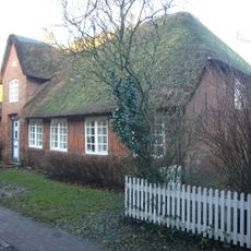
The area formed during the Saale glaciation when a depression between two moraines filled with water and later received sand deposits. Settlement and cultivation through dike construction began in the Middle Ages and shaped the Nordfriesland region for centuries.
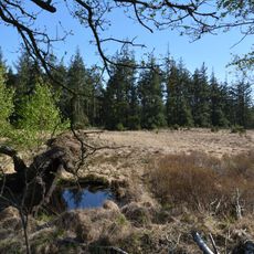
The name Gotteskoog reflects human shaping of the landscape through dike construction and drainage, which continues to define how the area looks today. Visitors can see how the flat land is divided by canals and embankments that form part of this long tradition.
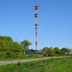
Several observation points are spread throughout the area and offer access for watching water birds. An information hut on Aventofter Street serves as a good starting point for visitors to learn more about the area.
The area is divided into seven distinct sections, including Gotteskoogsee lake and adjacent reed beds. These areas provide a crucial stopover for large flocks of starlings during their autumn migration.
The community of curious travelers
AroundUs brings together thousands of curated places, local tips, and hidden gems, enriched daily by 60,000 contributors worldwide.