Tönsberg, Mountain ridge in Teutoburg Forest, Germany
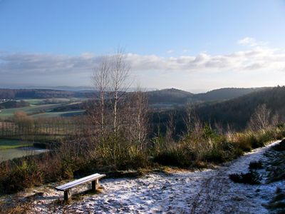
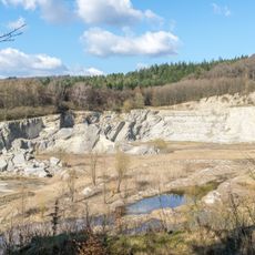
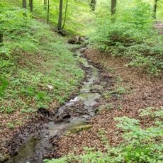
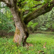
Tönsberg is a mountain ridge in the Teutoburg Forest near Oerlinghausen that rises about 333 meters above sea level. The ridge stretches across the Lippe district and offers varied views across the surrounding landscape.
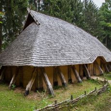
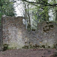
The ridge has been occupied since prehistoric times and contained a hillfort called Sachsenlager that functioned as a defense site until the 9th century. The Hünenkapelle, another structure on the ridge, also played a role in this defensive system.
The mountain features on Oerlinghausen's coat of arms as the central peak among three hills. This symbol reflects how the ridge is connected to the town's identity and local pride.
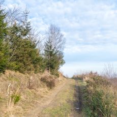
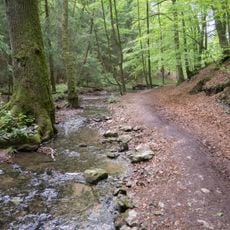
The Hermann's Way hiking trail crosses the ridge and provides several access points to historical sites along the route. Wear sturdy footwear and prepare for weather conditions depending on the season.
On the northern slopes stands the Kumsttonne, a preserved mill structure from 1753 that has become a regional landmark. This historical structure is a rare example of old mill technology in the area.
Elevation above the sea: 333.4 m
GPS coordinates: 51.95108,8.68269
Latest update: December 10, 2025 20:05
Archäologisches Freilichtmuseum Oerlinghausen
1.3 km
Hünenkapelle
1 km
Hauptstraße 32
1.7 km
Alexanderkirche
1.8 km
Gut Menkhausen
2.7 km
Mausoleum Tenge
1.8 km
Altdeutsche Bierstuben
1.5 km
Steinbruch am Barkhauser Berg
1.5 km
Synagoge Oerlinghausen
1.8 km
Detmolder Straße 6-10
1.4 km
St. Michael
1.3 km
Jüdischer Friedhof
1.8 km
Kirche Helpup (Oerlinghausen)
2.8 km
Steinbruchstraße 12 (Oerlinghausen)
1 km
Detmolder Straße 24
1.3 km
Robert-Koch-Straße 17
1.8 km
Grüte
1.6 km
Hauptstraße 19
1.7 km
Oerlinghausen town hall
1.6 km
Detmolder Straße 20 (Oerlinghausen)
1.2 km
Langer Gottfried
1.8 km
Robert-Koch-Straße 19
1.8 km
Pfarrhaus Oerlinghausen
1.9 km
Rathausstraße 15
1.6 km
Tönsberg
606 m
LSG-Teutoburger Wald mit Lippischem Wald, Osning Kamm und oestlichem Osning-Vorland
1.9 km
Menkhauser Bachtal mit Schopketal
2.5 km
LSG-Teutoburger Wald mit Brackweder Osning und Obere Senne mit Wistinghauser-, Haustenbecker- und Augustdorfer Senne und Ausläufern der Stukenbroker Lehmplatten
2.2 kmVisited this place? Tap the stars to rate it and share your experience / photos with the community! Try now! You can cancel it anytime.
Discover hidden gems everywhere you go!
From secret cafés to breathtaking viewpoints, skip the crowded tourist spots and find places that match your style. Our app makes it easy with voice search, smart filtering, route optimization, and insider tips from travelers worldwide. Download now for the complete mobile experience.
A unique approach to discovering new places❞
— Le Figaro
All the places worth exploring❞
— France Info
A tailor-made excursion in just a few clicks❞
— 20 Minutes