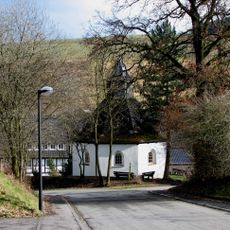
Hennetalsperre, Reservoir in Meschede, Germany
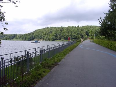
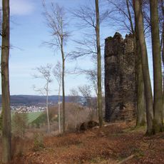
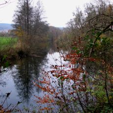
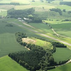
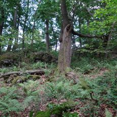
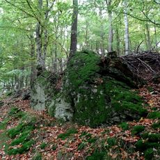
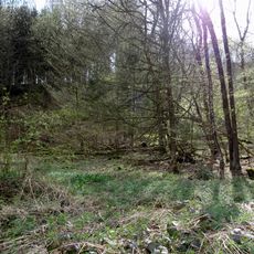
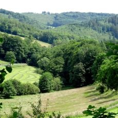
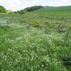
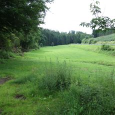
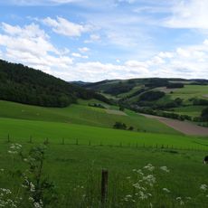
Hennetalsperre is a water reservoir situated at roughly 325 meters elevation within the Sauerland region, surrounded by thick forest and rolling hills that extend across the landscape. The basin contains multiple inlets and coves where the shoreline curves in and out between wooded slopes.
The dam was constructed to store water for surrounding communities and to regulate the flow in the Henne river. This project transformed the valley and created a water body that has become part of the regional landscape.
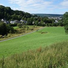
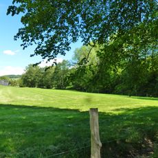
The reservoir area serves as a gathering place where visitors walk the shoreline paths and rest on scenic viewpoints, especially during weekends. It integrates naturally into the regional hiking network that people use to explore the Sauerland landscape and connect with local communities.
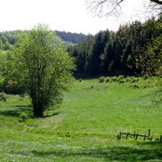
The reservoir is accessible year-round, with summer months ideal for swimming and fishing, while the surrounding area also offers winter sports like skiing nearby. Walking paths around the shoreline are well-maintained and lead to viewpoints that require only light effort to reach.
Beyond serving visitors, the reservoir also provides habitat for birds and fish that inhabit the waters and can be spotted from the shoreline. Early mornings or late afternoons are especially rewarding for observing wildlife as creatures become more active during these quieter times.
The community of curious travelers
AroundUs brings together thousands of curated places, local tips, and hidden gems, enriched daily by 60,000 contributors worldwide.