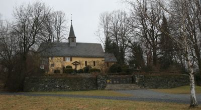
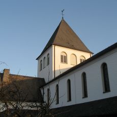
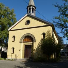
St. Michaels-Kapelle, Monastic chapel in Meschede, Germany.
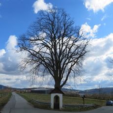
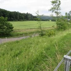
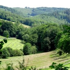
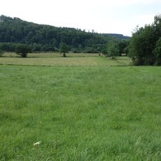
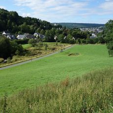
St. Michaels-Kapelle is a chapel on Klausenberg hill near Meschede in North Rhine-Westphalia, built in Romanesque style with thick stone walls and rounded arch windows. The structure sits on elevated ground and offers views of the surrounding area.
The structure was built around 1150 as a replacement for a wooden chapel from the 10th century, possibly located where an earlier pagan shrine once stood. A hermitage was added in 1425 when a learned woman established residence there.
The chapel houses a late Gothic carved altar moved from the Monastery of Galilea after its closure. This artwork shows the craftsmanship of its era and draws visitors interested in religious art.
The route to the site follows a Way of the Cross path starting about 300 meters east on Klausenweg street, opposite a statue of Christ. The path ends at the north side and allows visitors to climb gradually.
A hermitage was added in 1425, where Kunigunde Vesvogel, a learned woman who could read Latin, became the first resident. This settlement of an educated woman in a secluded hermitage was notable for that era.
The community of curious travelers
AroundUs brings together thousands of curated places, local tips, and hidden gems, enriched daily by 60,000 contributors worldwide.