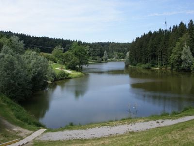
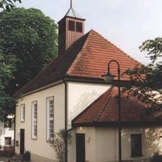
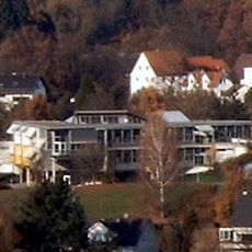
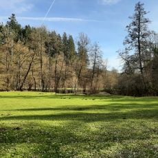
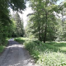
Leinecksee, reservoir
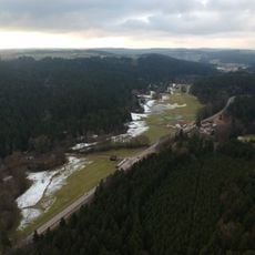
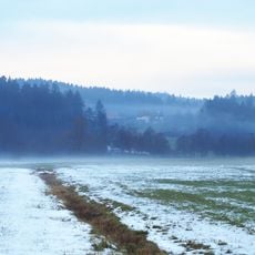
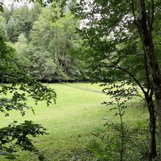
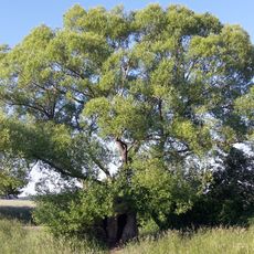
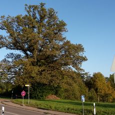
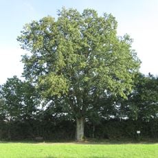
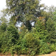
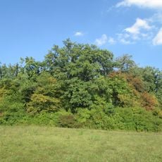
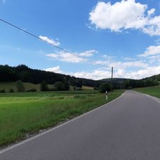
Leinecksee is a reservoir near Alfdorf in Baden-Württemberg that stores water and helps prevent flooding in the region. The basin sits in an open, green landscape with walking paths along the shore and trees surrounding the water.
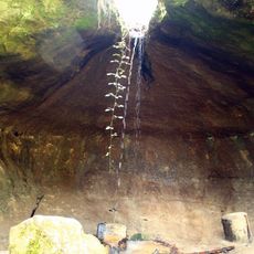
The reservoir was built between 1959 and 1962 to protect the region from flooding. The dam stands 14 meters high and is part of a network of eleven basins designed to manage floodwaters and protect local communities.
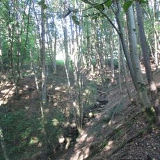
The reservoir takes its name from the Leineck stream that feeds it. Local people visit to walk quietly along the shore or sit by the water, treating it as a peaceful part of their everyday outdoor life.
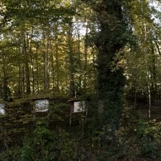
Parking is available for visitors and walking paths run around the water for easy exploration. Two public grilling areas with play facilities and a small log cabin offer rest spots if you plan to stay longer.
Water is drained periodically for inspections, most recently in 2002 and 2020, temporarily leaving the basin empty and revealing the structure beneath the surface. These maintenance periods are necessary to keep the dam functioning properly.
The community of curious travelers
AroundUs brings together thousands of curated places, local tips, and hidden gems, enriched daily by 60,000 contributors worldwide.