
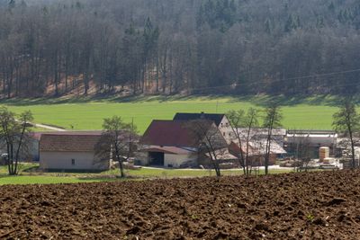
Stahlmühle, human settlement in Germany
Location: Heidenheim
Elevation above the sea: 460 m
GPS coordinates: 48.95180,10.72420
Latest update: March 10, 2025 18:56
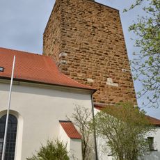
St. Johannes der Täufer
5.8 km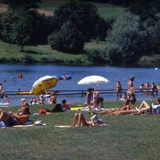
Hahnenkammsee
1.4 km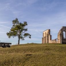
Katharinenkapelle bei Hechlingen
3.4 km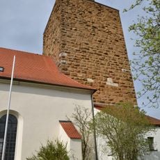
Burg Hohentrüdingen
5.8 km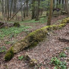
Steinerne Rinne bei Hechlingen
4.2 km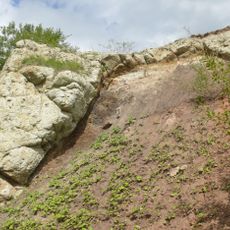
Steinbruch Aumühle
7.3 km
Burgruine Steinhart
3.7 km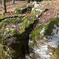
Blutrinne bei Hechlingen
1.2 km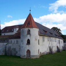
Schloss Polsingen
3.5 km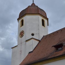
St. Nikolaus
3.6 km
St. Urban
3.5 km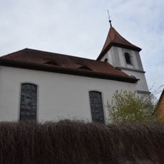
St. Georg
3.8 km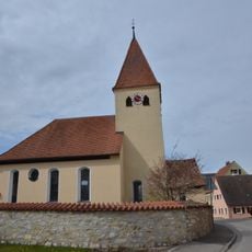
St. Leonhard und Nikolaus
3.5 km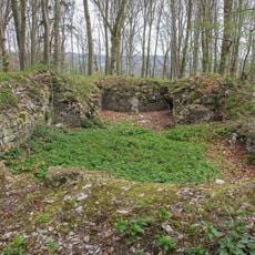
Burg Stahelsberg
646 m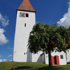
St. Georg
6.1 km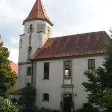
St. Martin
6.6 km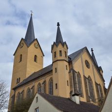
St. Lucia und Ottilie
2.9 km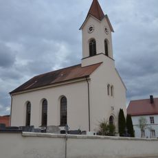
St. Wunibald
1.6 km
Evangelisch-lutherische Kirche Zum Guten Hirten
3.6 km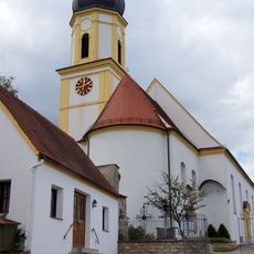
St. Martin
6.8 km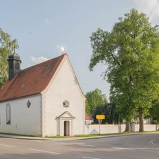
Kapelle St. Anna
5.4 km
St. Laurentius
6.6 km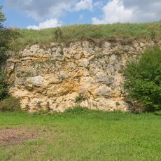
Geotop Buschelberg Hainsfarth
6.6 km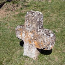
Steinkreuz in Oberappenberg
1.8 km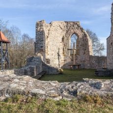
Burgstall mit untertägigen Teilen der abgegangenen Kapelle bei Hechlingen
3.4 km
Pfäfflinger Wiesen und Riedgraben bei Laub
6.4 km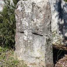
Kreuzstein in Ursheim
1.9 km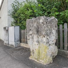
Steinkreuz
5.4 kmReviews
Visited this place? Tap the stars to rate it and share your experience / photos with the community! Try now! You can cancel it anytime.
Discover hidden gems everywhere you go!
From secret cafés to breathtaking viewpoints, skip the crowded tourist spots and find places that match your style. Our app makes it easy with voice search, smart filtering, route optimization, and insider tips from travelers worldwide. Download now for the complete mobile experience.

A unique approach to discovering new places❞
— Le Figaro
All the places worth exploring❞
— France Info
A tailor-made excursion in just a few clicks❞
— 20 Minutes