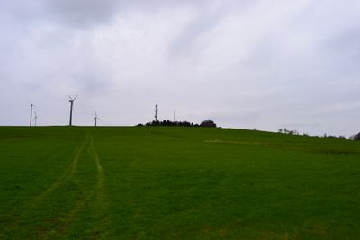
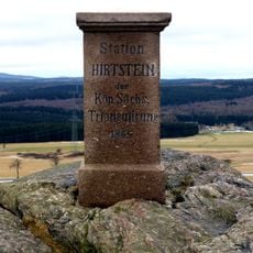
Hirtstein, National Geotope in Marienberg, Germany.
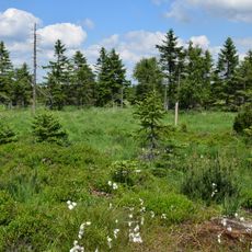
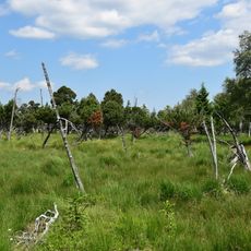
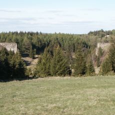
Hirtstein is a mountain summit and geotope in the Ore Mountains near Marienberg, Saxony, known for its exposed basalt rock formations at the top. The peak sits close to the Czech border and stands out clearly above the surrounding forested slopes.
In the 19th century, geologists recognized the scientific value of the basalt formations and pushed to protect them from quarrying. This effort laid the ground for the site's status as a protected natural monument, which it holds today.
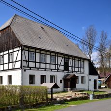
The Hirtsteinbaude, a mountain inn on the summit, is a meeting place for walkers and skiers crossing the Ore Mountains. The name Hirtstein, meaning roughly "shepherd's stone," points to a long tradition of herding in these highlands, still recalled in the landscape today.
In winter the area is used for cross-country skiing and downhill runs, while in summer marked hiking trails lead through the surrounding forest to the top. The inn at the summit makes a good stopping point before walking over to see the rock formations up close.
The basalt at the summit is a type called phonolite, which produces a ringing sound when struck, and this property gave the rock its name. Many visitors are surprised to discover this on their first visit, as the sound is clearly audible with a simple tap.
The community of curious travelers
AroundUs brings together thousands of curated places, local tips, and hidden gems, enriched daily by 60,000 contributors worldwide.