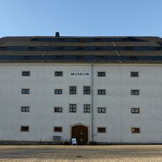
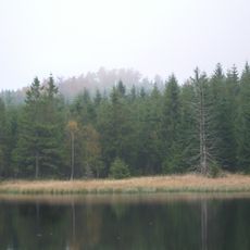
Marienberg, Mining town in Erzgebirgskreis district, Germany.
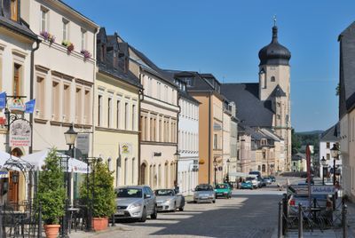
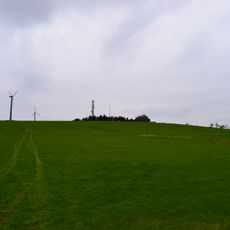
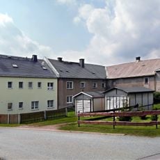
Marienberg is a town in the Erzgebirgskreis district of Saxony with a rectangular center organized around a 1.7-hectare market square designed according to Italian Renaissance principles. The town sits at about 620 meters (2,030 feet) in elevation and connects through regional transportation networks to nearby municipalities in southern Saxony.
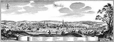
Duke Henry the Pious of Saxony founded Marienberg in 1521 as a planned town to develop the ore deposits in the region. By 1540, the area contained over one thousand mining pits that transformed the town into a major economic center of the Ore Mountains.
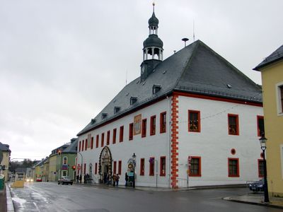
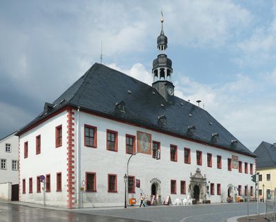
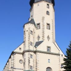
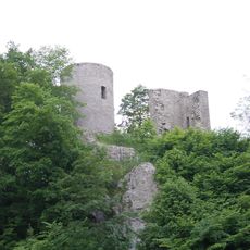
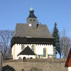
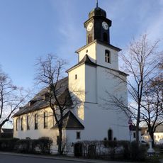
St. Mary's Church displays Late Gothic design that shapes how people move through the town center, and the Red Tower serves as a visual anchor from the main square. These structures still reflect how residents organized their daily lives around defense and religious practices.
The town is best explored on foot since the old center is compact and main sites are close together. Comfortable walking shoes are recommended because the terrain is hilly and stairs are scattered throughout the town.
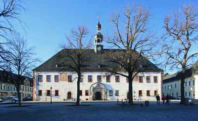
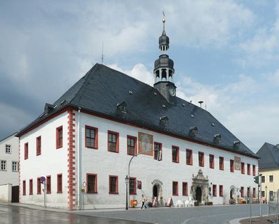
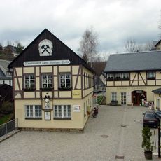
The mining office established in 1525 managed all mining activities across the Ore Mountains from Marienberg, making the town the administrative hub of regional ore extraction. Visitors can still trace this central administrative role in how the town was laid out and organized around government functions.
The community of curious travelers
AroundUs brings together thousands of curated places, local tips, and hidden gems, enriched daily by 60,000 contributors worldwide.