Katzenstein, Mountain summit in Marienberg, Germany
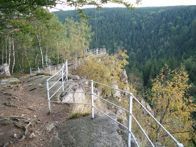
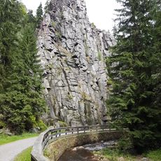
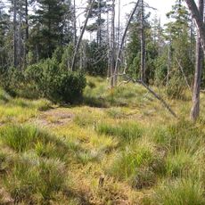
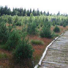
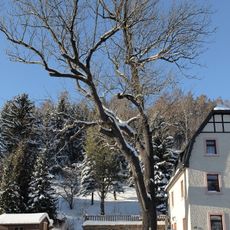
Katzenstein is a mountain summit in the Erzgebirge at 706 meters and features several marked hiking trails through dense forests. The area provides views across the surrounding mountain landscape from its elevated position.
The Katzenstein area was part of silver mining activities in the 15th and 16th centuries that shaped Saxony's economy. This early mining activity left traces in the landscape and the region's development.
The name Katzenstein refers to cats and reflects the local tradition of naming mountains after animals. Visitors find signage at the summit that explains this naming practice and connects it to regional cultural heritage.
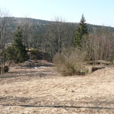
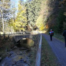
The mountain is accessible via marked trails starting from Pobershau and offering various difficulty levels. Sturdy footwear is recommended as ground conditions vary with the season.
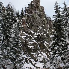
The summit displays geological formations showing traces of volcanic activity from millions of years ago. This scientific feature makes the mountain interesting for observing Earth's history.
Location: Marienberg
Elevation above the sea: 706 m
GPS coordinates: 50.63298,13.23727
Latest update: December 12, 2025 17:47
St Mary's Church, Marienberg
5.4 km
Grüner Graben
4.5 km
Lauterstein Castle
4.5 km
Schwarzwassertal
809 m
Burg Nidberg
3.5 km
Liebenstein Castle
533 m
Molchner Stolln
1.5 km
Mothäuser Heide
4.4 km
Kirche Zöblitz
2.7 km
Burg Nonnenfelsen
739 m
Steinhübel
3.2 km
Morgensternhöhe
1.5 km
Jagdsäule (Marienberg)
5.4 km
Methodistenkirche Marienberg
5.4 km
Evangelisch-Lutherische Kirche
5.2 km
Kirche Pobershau
1.5 km
Roter Turm
5.3 km
Serpentinstein- und Heimatmuseum Zöblitz
2.9 km
Royal Saxon milestone B 171 Marienberg
5.3 km
Kgl.-sächs. Postmeilenstein Zöblitz
3 km
Mothäuser Heide
4.9 km
Kgl.-sächs. Postmeilenstein Stadtpark
5.4 km
Schaubergwerk zum Molchner Stolln Pobershau
1.5 km
Wohnhaus in geschlossener Bebauung Freiberger Straße 6
5.5 km
Wohnhaus in Ecklage und in geschlossener Bebauung, mit Anbau Baderstraße 1a
5.5 km
Eiche
1.6 km
Naturschutzstation
888 m
Kriegerdenkmal für die Gefallenen des Ersten Weltkrieges Südsteig 6
2.5 kmVisited this place? Tap the stars to rate it and share your experience / photos with the community! Try now! You can cancel it anytime.
Discover hidden gems everywhere you go!
From secret cafés to breathtaking viewpoints, skip the crowded tourist spots and find places that match your style. Our app makes it easy with voice search, smart filtering, route optimization, and insider tips from travelers worldwide. Download now for the complete mobile experience.
A unique approach to discovering new places❞
— Le Figaro
All the places worth exploring❞
— France Info
A tailor-made excursion in just a few clicks❞
— 20 Minutes