Steinhübel, Mountain summit in Olbernhau, Germany
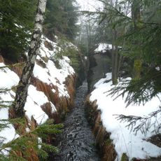
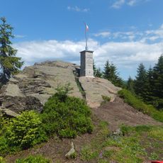
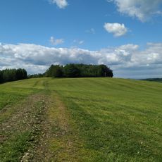
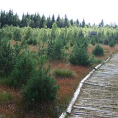
Steinhübel rises to 816 meters in the Erzgebirge range and is covered by dense beech forests with a network of well-marked hiking routes. Multiple trails cross its slopes, offering walks that range from short strolls to longer full-day hikes.
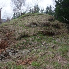
The mountain holds remnants of Ullersdorf, a 13th-century settlement located above 700 meters that represents early colonization in the Erzgebirge. This settlement shows how people inhabited these high elevations during the Middle Ages.
The summit sits within the Rübenauer Kriegwald area and links several communities through traditional mountain paths that people still use today. These routes connect villages and shape how locals move through their landscape.
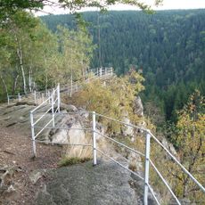
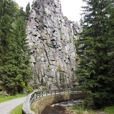
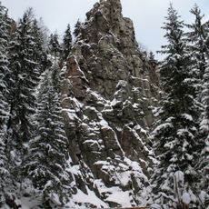
The summit lies north of Rübenau, and the rock outcrop is reached on foot through the Rübenauer Kriegwald beech forest. Views are partly blocked by the trees; the clearest sightlines open to the southwest toward Kühnhaide and the Hirtstein. About 1 km west-southwest stands the deserted Ullersdorf site above 700 m.
On clear days, the peak offers views of distant mountains including Keilberg and Fichtelberg across the landscape. The Lauschhübel summit beyond the Czech border is also visible from this vantage point.
The community of curious travelers
AroundUs brings together thousands of curated places, local tips, and hidden gems, enriched daily by 94,015 contributors worldwide.