
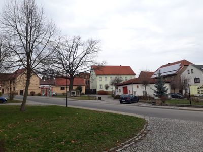
Rehestädt, human settlement in Germany
Location: Amt Wachsenburg
Elevation above the sea: 265 m
GPS coordinates: 50.86970,10.92360
Latest update: April 10, 2025 07:45
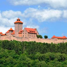
Wachsenburg Castle
3.6 km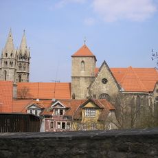
Liebfrauenkirche, Arnstadt
4.2 km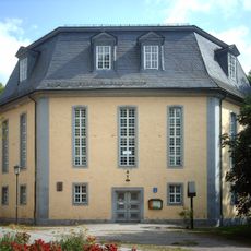
Christi Himmelfahrt
4 km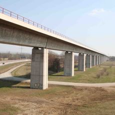
Geratalbrücke Ichtershausen
3.8 km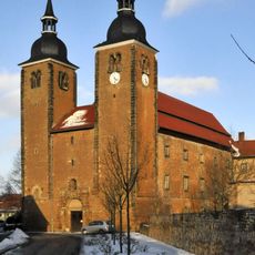
Kloster Ichtershausen
3.4 km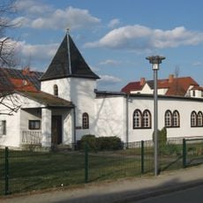
St. Marien
3.3 km
Milchhof Arnstadt
3.9 km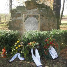
Preußengrab Ichtershausen
4 km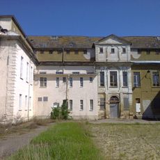
Convent estate Ichtershausen
3.4 km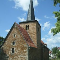
St. Wenzel (Thörey)
2.6 km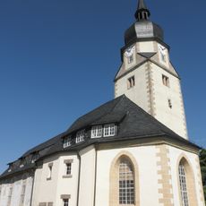
St. Walpurgis (Apfelstädt)
4.2 km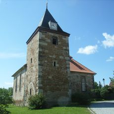
St. Gangolf (Rehestädt)
80 m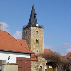
Saint Nicholas Church (Haarhausen)
1.9 km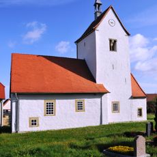
St. Nikolaus (Kornhochheim)
3.5 km
Apfelstädter Ried
3.7 km
Dreifaltigkeitskirche (Holzhausen)
3.4 km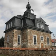
St. Johannes (Rudisleben)
3.5 km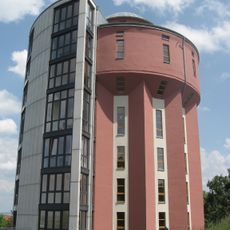
Water tower Arnsberg (Arnstadt)
3.5 km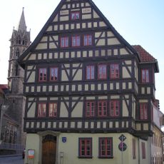
Papiermühle
4.2 km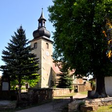
Saint Wigbert Church (Sülzenbrücken)
3 km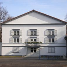
Theater im Schlossgarten
4.3 km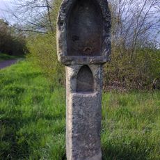
Riesenlöffel
2.6 km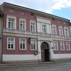
Haus zur rothen Thür
4.2 km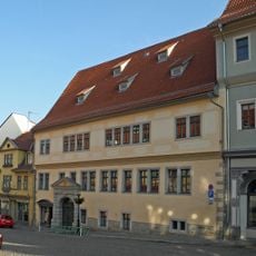
Haus zum schwarzen Löwen
4.2 km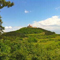
Wachsenburg
3.7 km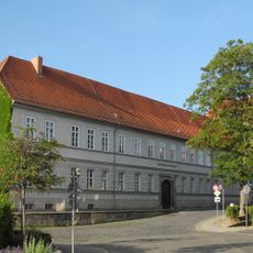
Prinzenhof
4.2 km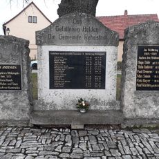
War memorial Rehestädt
34 m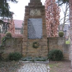
War memorial Sülzenbrücken
3 kmVisited this place? Tap the stars to rate it and share your experience / photos with the community! Try now! You can cancel it anytime.
Discover hidden gems everywhere you go!
From secret cafés to breathtaking viewpoints, skip the crowded tourist spots and find places that match your style. Our app makes it easy with voice search, smart filtering, route optimization, and insider tips from travelers worldwide. Download now for the complete mobile experience.

A unique approach to discovering new places❞
— Le Figaro
All the places worth exploring❞
— France Info
A tailor-made excursion in just a few clicks❞
— 20 Minutes