Enable Location

We need your location to show you interesting places around you

Discover nearby places

Find interesting locations and hidden gems around you

Precise directions

Get accurate directions and distances to places

Your location is never shared with other users. It's only used when you tap the location button.

Wengeberg

Log in to your account

Start exploring — it's free

Trusted by 61,997 travelers worldwide

Continue with Google
Continue with Apple
or

We will send you a code to connect

By continuing, you accept our Terms and Conditions and our Privacy Policy

Check your inbox

We've sent a pincode in your inbox. Please enter the code below.

Wengeberg

Wengeberg, Mountain summit in Breckerfeld, Germany.

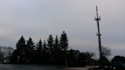
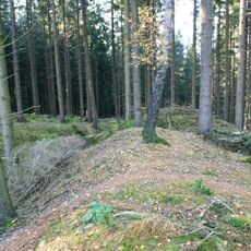
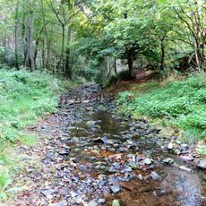
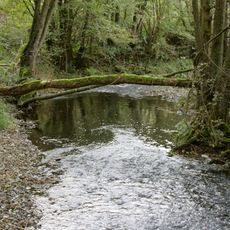
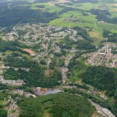
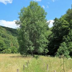
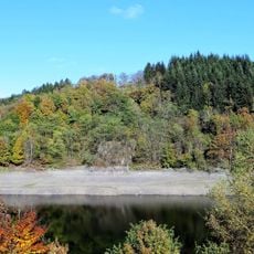
Wengeberg is a mountain in Breckerfeld reaching 441 meters and marking the highest point in the Ennepe-Ruhr district. The terrain is mostly forested, particularly on the northeastern slopes, while the southwestern side is accessible via the nearby L528 regional road.

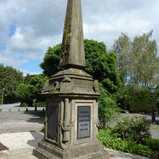
In the mid-1800s, the summit served as Station 45 of the Prussian optical telegraph network linking Berlin to the Rhine Province. This telegraph system made the location a crucial point for rapid communication across vast distances.

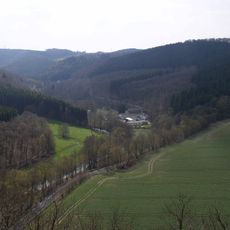
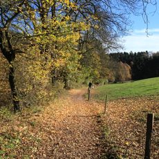
The summit has served as a gathering point for people seeking views across the wider region, shaping how local communities value the landscape. Walkers today follow routes that reflect generations of use and have become part of the area's outdoor culture.

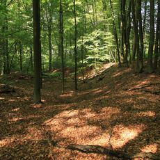
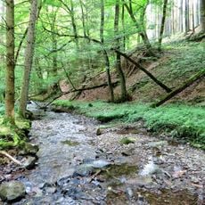
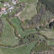
Visitors can use several hiking trails to reach the summit, with established paths particularly available through the northeastern forest. The nearby L528 road provides good orientation points, and the terrain is walkable during most seasons without special equipment.

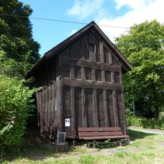
An iron observation tower called Hohenzollernturm was once built at the summit in 1894 and displayed busts of German emperors at its base. The tower no longer stands, having been taken down in the early 20th century, though local history remembers its role as a landmark.

The community of curious travelers

AroundUs brings together thousands of curated places, local tips, and hidden gems, enriched daily by 60,000 contributors worldwide.

Start exploring
Location
Elevation above the sea
441 m
Part of
Breckerfelder Hochfläche
GPS coordinates
51.24764,7.46631
Latest update
December 14, 2025 13:00
« Wengeberg - Mountain summit in Breckerfeld, Germany » is provided by Around Us (aroundus.com). Images and texts are derived from Wikimedia project under a Creative Commons license. You are allowed to copy, distribute, and modify copies of this page, under the conditions set by the license, as long as this note is clearly visible.

Discover hidden gems everywhere you go!

From secret cafés to breathtaking viewpoints, skip the crowded tourist spots and find places that match your style. Our app makes it easy with voice search, smart filtering, route optimization, and insider tips from travelers worldwide. Download now for the complete mobile experience.

Around Us App Screenshot

A unique approach to discovering new places

Le Figaro

All the places worth exploring

France Info

A tailor-made excursion in just a few clicks

20 Minutes

Around Us
Travel Guide & Maps
Download

Send to your phone

QR Code
1

Open the camera app on your mobile.

2

Point at the QR code with your camera. A notification will appear.

3

Tap the notification to open the link.