Schnappenberg, Mountain summit in Bavaria, Germany
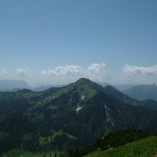
Schnappenberg is a mountain in the Chiemgau Alps near the village of Marquartstein in southeastern Bavaria, rising to approximately 1260 meters. The landscape around it features typical Alpine terrain with meadows and rock formations characteristic of the region.
The western slope of the Schnappenberg burned in three forest fires: in 1881, in March 1933 and in December 1972, some of them devastating. The mountain lies between Marquartstein and Staudach-Egerndach in the Chiemgau.
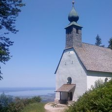
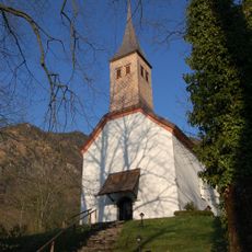
The Schnappenkirche below the summit, at 1,100 metres, is the landmark hikers pass on the way up to the Hochgern; from Marquartstein it is about 90 minutes on an easy walk. In clear weather the churchyard gives a view north over Grassau and the Chiemsee.
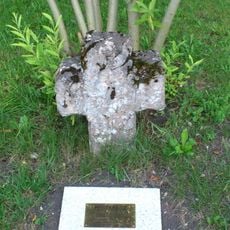
The summit is reached from the southeastern saddle; the fully wooded top has a small summit cross but is not a rewarding destination in itself. The Schnappenkirche at 1,100 metres lies on one of the ascent routes to the Hochgern and can be reached from Marquartstein in about 90 minutes on an easy hike. The route from the timber yard in Staudach takes about 70 minutes and requires sure-footedness in wet weather; it has not been maintained in recent years.
The wooded summit itself has little to offer and is reached from the southeastern saddle; it bears a small summit cross. The real viewpoint is below it: the Schnappenkirche at 1,100 metres, on an ascent route to the Hochgern, gives a clear view north to Grassau and the Chiemsee. The west slope burned in 1881, March 1933 and December 1972.
The community of curious travelers
AroundUs brings together thousands of curated places, local tips, and hidden gems, enriched daily by 93,878 contributors worldwide.