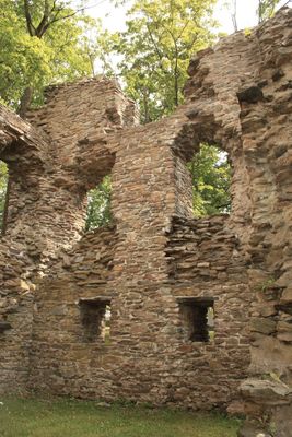
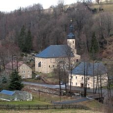
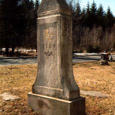
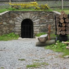
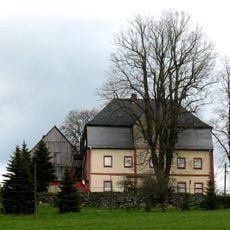
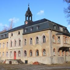
Jagdhaus Breitenbrunn, Medieval hunting lodge ruins in Breitenbrunn, Germany
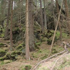
Jagdhaus Breitenbrunn is a fortified ruin complex set in the Ore Mountains with a rectangular core layout and surrounding defensive features. The remains display typical medieval fortress characteristics with visible foundation walls and remnants of the perimeter structure.
The site began as a defensive tower in the 13th century before being adapted for hunting purposes in later periods. A major fire destroyed it in 1610, and rebuilding efforts followed in 1617.
The site reflects the bond between nobility and hunting pursuits in the Ore Mountains. Visitors can observe how such structures served as gathering places for the region's landowning families.
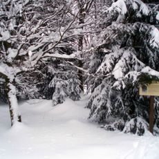
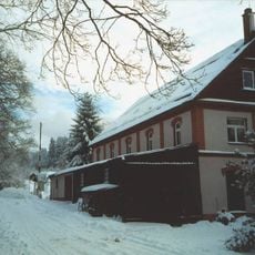
The ruins sit within a park area on the edge of Breitenbrunn village and function as a starting point for hiking trails through the region. Access is straightforward, and the location offers good opportunities for exploring the surrounding countryside on foot.
During restoration work in 1891, workers uncovered a 17th-century drinking glass among the ruins. This discovery provides clues about the former wealth and daily habits of those who lived there.
The community of curious travelers
AroundUs brings together thousands of curated places, local tips, and hidden gems, enriched daily by 60,000 contributors worldwide.