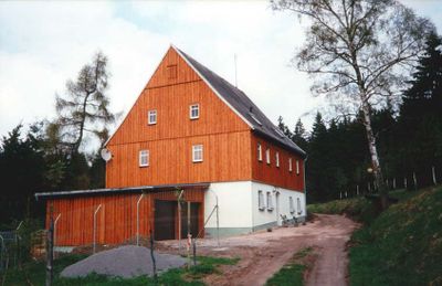
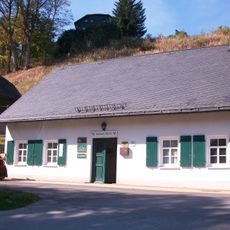
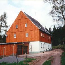
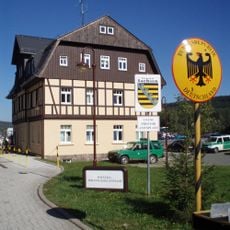
Rabenberg, Mountain summit in Breitenbrunn, Germany
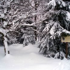
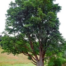
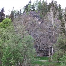
Rabenberg is a mountain in the Erzgebirge range standing at 913 meters high and covered by dense forests. The area features several marked hiking trails that run through the slopes.
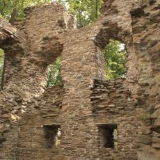
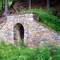
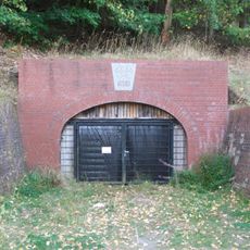
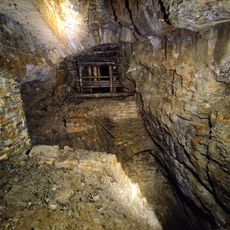
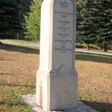
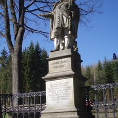
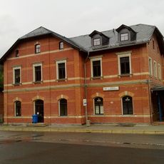
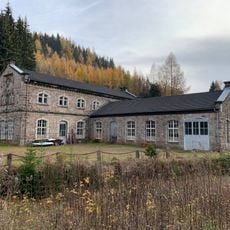
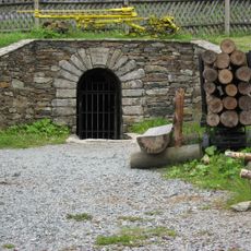
The area became important during Saxony's silver mining era, which shaped the growth of surrounding villages from the Middle Ages onward. This mining tradition formed the development and settlement of the entire region over many centuries.
The walking paths on the mountain follow old trade routes where regional craftspeople moved goods between villages. These routes still shape how the landscape looks today and show how people have traveled through this area for many generations.
The mountain is accessible from Breitenbrunn via marked hiking trails that are easy to find. During the months from December through March, expect snow and bring appropriate equipment.
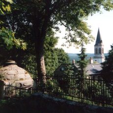
From the summit you can see into both German and Czech parts of the Erzgebirge, since the mountain sits at the natural border between the two countries. This border location lets visitors look across two regions at once.
Location: Breitenbrunn/Erzgebirge
Elevation above the sea: 913 m
GPS coordinates: 50.45194,12.75472
Latest update: December 12, 2025 14:26
Christmas Pyramid
3.7 km
Jagdhaus Breitenbrunn
2.9 km
Himmelswiese
3 km
Stadtkirche Johanngeorgenstadt
3.3 km
Preißhausbuche
1.2 km
Pulverturm
3.8 km
Elias
3 km
Kellerschleiferei
3.6 km
Friedrich August Stolln
1.8 km
Felshaus
2 km
Neujahr-Stolln
3 km
Schaubergwerk Glöckl
3.1 km
Maxův javor u Kozího potoka
3.7 km
Christian-Friedrich-Röder-Denkmal Johanngeorgenstadt
3.1 km
Denkmal für die Gefallenen des Ersten Weltkrieges Wittigsthalstraße 19 21 (vor)
3 km
Church of the Visitation of Our Lady
3.2 km
Frisch Glück Fundgrube
3 km
Cemetery Johanngeorgenstadt
3.6 km
Kgl.-sächs. Postmeilenstein Johanngeorgenstadt
3.2 km
Sachgesamtheit Friedhof Johanngeorgenstadt Hospitalstraße -
3.6 km
Johann Georg I.-Denkmal in Johanngeorgenstadt
3.2 km
Bahnhof Johanngeorgenstadt
2.5 km
Gotthelf-Schaller-Tageschacht
3.8 km
Ehemalige Holzschleiferei mit Wasserkraftanlage (Nr. 1, über T-förmigem Grundriss, später Elektrizitätswerk) sowie Wohnhaus (Nr. 2) mit angebautem Nebengebäude und Einfriedung Albertsthal 1; 2
2.2 km
Mundloch des Besucherbergwerk St. Christoph Schachtstraße 63 (bei)
3.1 km
Nonnenfelsen
3.2 km
Ehemaliges Forsthaus Alt Rabenberg 1
2.1 km
Zoll- und Grenzhaus Wittigsthalstraße 14
3 kmVisited this place? Tap the stars to rate it and share your experience / photos with the community! Try now! You can cancel it anytime.
Discover hidden gems everywhere you go!
From secret cafés to breathtaking viewpoints, skip the crowded tourist spots and find places that match your style. Our app makes it easy with voice search, smart filtering, route optimization, and insider tips from travelers worldwide. Download now for the complete mobile experience.
A unique approach to discovering new places❞
— Le Figaro
All the places worth exploring❞
— France Info
A tailor-made excursion in just a few clicks❞
— 20 Minutes