
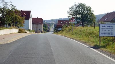
Schwabendorf, human settlement in Germany
Location: Rauschenberg
Inception: 1687
Elevation above the sea: 290 m
GPS coordinates: 50.90000,8.88596
Latest update: March 2, 2025 23:41
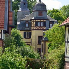
Schloss Schönstadt
4.4 km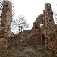
Burg Rauschenberg
2.6 km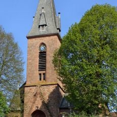
Martinskirche
4.3 km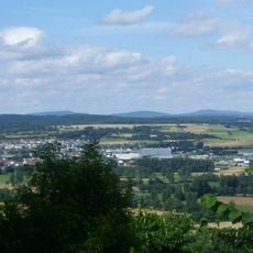
Burgholz
5.3 km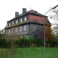
Jagdschloss Bracht
3.6 km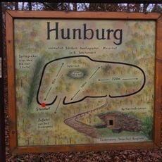
Hunburg
5.2 km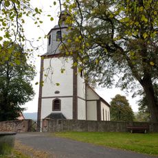
Michaeliskirche (Wohra)
5.6 km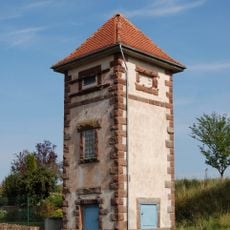
Transformatorenhäuschen
6.2 km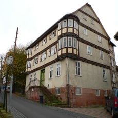
Burgmannenhaus Rauschenberg
2.7 km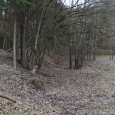
Burg Hundsbach
5.7 km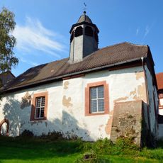
Evangelische Kirche Schwarzenborn
1.9 km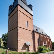
Stadtkirche Rauschenberg
2.7 km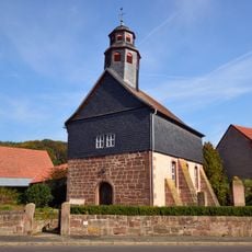
Evangelische Kirche Albshausen
2.1 km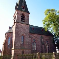
Saint Nicholas Church
5 km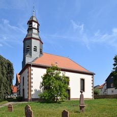
Evangelische Pfarrkirche
5.1 km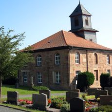
Church of Burgholz
5.4 km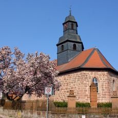
Church of Bracht
3.4 km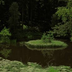
Langer Grund bei Schönstadt
5.6 km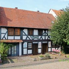
Daniel-Martin-Haus
16 m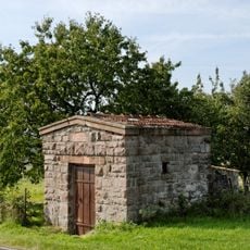
Wasserbehälter Sindersfelder Straße
5.2 km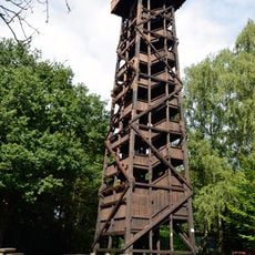
Hunburg Tower
5.3 km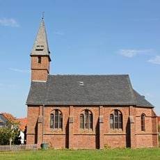
Huguenot church
176 m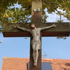
Hochkruzifix Sindersfelder Straße/Pfarrweg
6.2 km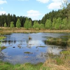
Franzosenwiesen und Rotes Wasser
5.2 km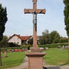
Hochkruzifix
6.1 km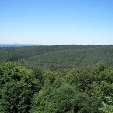
Burgwald
6 km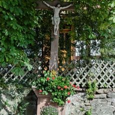
Kruzifix Hohlweg
6.2 km
Bildstock
6.1 kmReviews
Visited this place? Tap the stars to rate it and share your experience / photos with the community! Try now! You can cancel it anytime.
Discover hidden gems everywhere you go!
From secret cafés to breathtaking viewpoints, skip the crowded tourist spots and find places that match your style. Our app makes it easy with voice search, smart filtering, route optimization, and insider tips from travelers worldwide. Download now for the complete mobile experience.

A unique approach to discovering new places❞
— Le Figaro
All the places worth exploring❞
— France Info
A tailor-made excursion in just a few clicks❞
— 20 Minutes