
Rainding, human settlement in Germany
Location: Haarbach
Elevation above the sea: 363 m
GPS coordinates: 48.53080,13.17500
Latest update: April 9, 2025 10:26
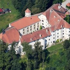
Schloss Ortenburg
4.6 km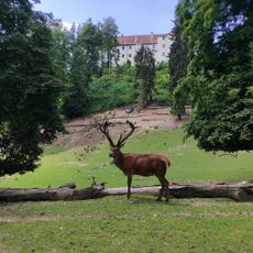
Wildpark Ortenburg
4.8 km
Vogel- und Tierpark Irgenöd
6.7 km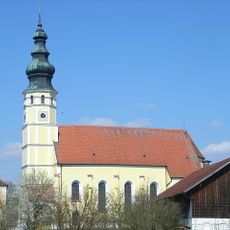
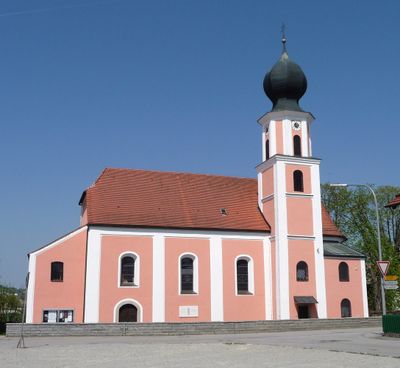
Wallfahrtskirche Mariä Himmelfahrt
850 m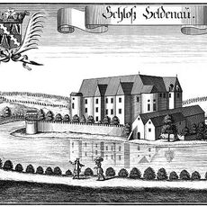
Schloss Söldenau
4.4 km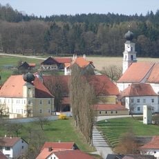
Kloster Sankt Salvator
3.1 km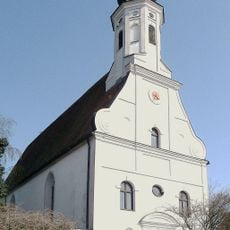
Marktkirche
4 km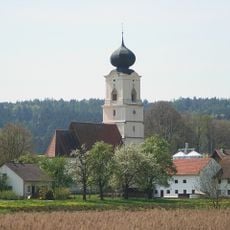
Wallfahrtskirche Grongörgen
5.1 km
Schloss Neu-Ortenburg
5.5 km
Klosterkirche St. Salvator
3.1 km
Mariä Himmelfahrt
6 km
St. Andreas
5.4 km
Burgstall Unterhartdobl
5.4 km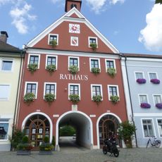
Rathaus
4 km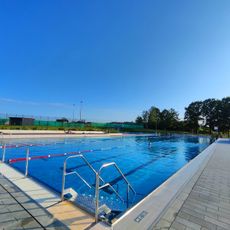
Freibad Unteriglbach
3.5 km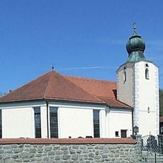
St. Vitus
3.1 km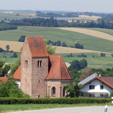
St. Stephan
2.5 km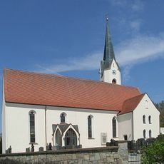
St. Martin
3.6 km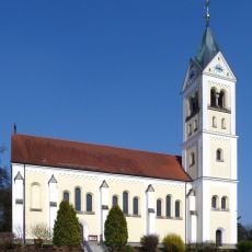
Pfarrkirche Mariä Himmelfahrt (Ortenburg)
4.3 km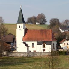
Katholische Filialkirche St. Martin
4.3 km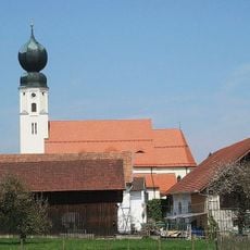
St. Georg
5 km
Katholische Wallfahrtskirche Mariä Himmelfahrt
852 m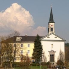
St. Johannes Nepomuk
4.7 km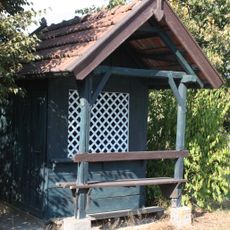
Wegkapelle
6.3 km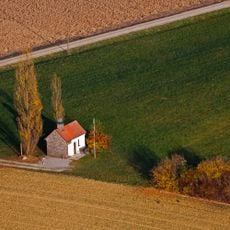
Kapelle St. Koloman
1.9 km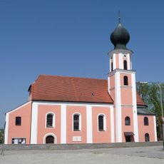
St. Michael
9 m
Katholische Pfarrkirche Mariä Himmelfahrt
6 km
Pfarrkirche St. Andreas
5.4 kmReviews
Visited this place? Tap the stars to rate it and share your experience / photos with the community! Try now! You can cancel it anytime.
Discover hidden gems everywhere you go!
From secret cafés to breathtaking viewpoints, skip the crowded tourist spots and find places that match your style. Our app makes it easy with voice search, smart filtering, route optimization, and insider tips from travelers worldwide. Download now for the complete mobile experience.

A unique approach to discovering new places❞
— Le Figaro
All the places worth exploring❞
— France Info
A tailor-made excursion in just a few clicks❞
— 20 Minutes