
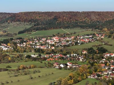
Killer, quarter of Burladingen, Baden-Württemberg, Germany
Location: Burladingen
Elevation above the sea: 656 m
GPS coordinates: 48.31460,9.06308
Latest update: March 5, 2025 14:35
Pumpwerk Onstmettingen
5.6 km
Kornbühl
5.1 km
Salmendinger Kapelle
5.2 km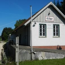
Deutsches Peitschenmuseum
217 m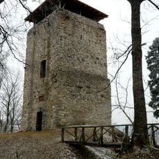
Ruine Hohenringingen
3.4 km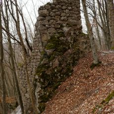
Ruine Ringelstein
3.7 km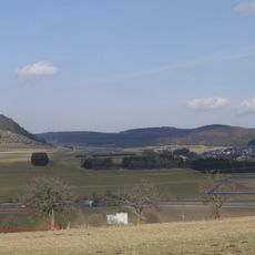
Castra of Burladingen
3.1 km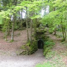
Linkenboldshöhle
4.9 km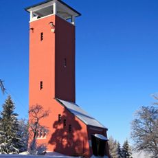
Raichberg Tower
5.3 km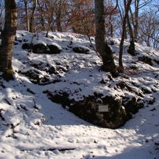
Burg Azilun
2.3 km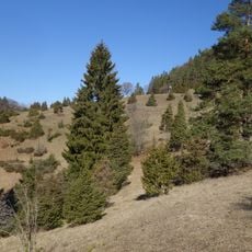
Wacholderbusch
3.5 km
Jagdschloss Friedrichstal
4.3 km
Weilerburg (Tailfingen)
5.1 km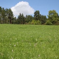
Beurener Heide
5.8 km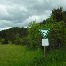
Nähberg
1.7 km
Bürgle
1.4 km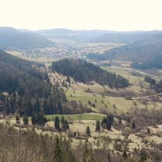
Reichenbach und Killertal zwischen Hechingen und Burladingen
1.7 km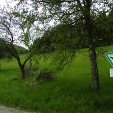
Hochberg
5.8 km
Scharlenbachtal-Hofwald
1.6 km
Oberes Starzeltal und Zollerberg
2.5 km
Kornbühl
5.2 km
1 Tanne am Traufweg (Eckweg)
4.8 km
1 Fichte
3.8 km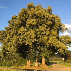
2 Linden mit Steinkreuz
5.5 km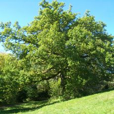
1 Eiche mit Forchengruppe
6 km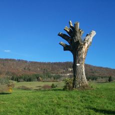
1 Eiche auf dem Kirchenköpfle
4.2 km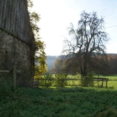
Linde mit Birnbaum im Friedrichstal
4.4 km
14 Eiben
3.7 kmReviews
Visited this place? Tap the stars to rate it and share your experience / photos with the community! Try now! You can cancel it anytime.
Discover hidden gems everywhere you go!
From secret cafés to breathtaking viewpoints, skip the crowded tourist spots and find places that match your style. Our app makes it easy with voice search, smart filtering, route optimization, and insider tips from travelers worldwide. Download now for the complete mobile experience.

A unique approach to discovering new places❞
— Le Figaro
All the places worth exploring❞
— France Info
A tailor-made excursion in just a few clicks❞
— 20 Minutes