Enable Location

We need your location to show you interesting places around you

Discover nearby places

Find interesting locations and hidden gems around you

Precise directions

Get accurate directions and distances to places

Your location is never shared with other users. It's only used when you tap the location button.

Kohlhaukuppe

Log in to your account

Start exploring — it's free

Trusted by 61,918 travelers worldwide

Continue with Google
Continue with Apple
or

We will send you a code to connect

By continuing, you accept our Terms and Conditions and our Privacy Policy

Check your inbox

We've sent a pincode in your inbox. Please enter the code below.

Kohlhaukuppe

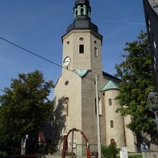
Kohlhaukuppe, Mountain summit near Altenberg, Germany.

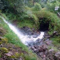
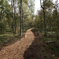
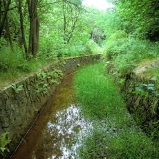
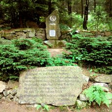
Kohlhaukuppe is a mountain near Altenberg in eastern Saxony that rises to about 786 meters and is covered in forest. The area features many trails winding through the wooded slopes, with paths that lead to nearby communities and viewpoints.

The mountain was renamed Kohlhaukuppe after World War II, taking its name from the shape of the hilltop as it appears against the horizon. Before this change, the summit had been called by a different name during the earlier periods of local settlement.

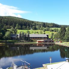
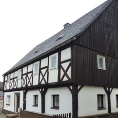
The restaurant at the summit serves hearty local food that reflects how people in this region eat. Visitors naturally gather there to share meals and enjoy the surroundings, making it a social hub for hikers.

The mountain is accessible by public transportation or car, with parking available near Hüttenteich for those driving. The walking trails are generally well-maintained and best visited during milder months when conditions are most stable.

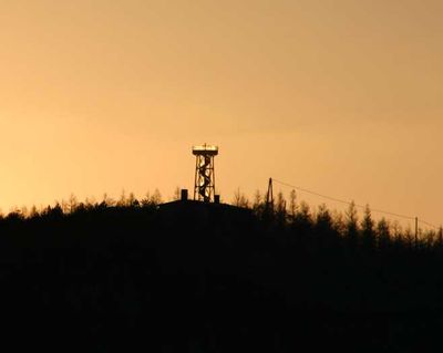
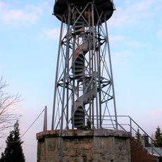
An observation tower stands at the top, rebuilt in the 1990s, offering wide views across the surrounding paths and nearby towns. This structure serves as a key point for visitors wanting to understand the layout of the hiking network and the landscape below.

The community of curious travelers

AroundUs brings together thousands of curated places, local tips, and hidden gems, enriched daily by 60,000 contributors worldwide.

Start exploring
Location
Elevation above the sea
785.7 m
GPS coordinates
50.74387,13.79301
Latest update
December 13, 2025 17:02
« Kohlhaukuppe - Mountain summit near Altenberg, Germany » is provided by Around Us (aroundus.com). Images and texts are derived from Wikimedia project under a Creative Commons license. You are allowed to copy, distribute, and modify copies of this page, under the conditions set by the license, as long as this note is clearly visible.

Discover hidden gems everywhere you go!

From secret cafés to breathtaking viewpoints, skip the crowded tourist spots and find places that match your style. Our app makes it easy with voice search, smart filtering, route optimization, and insider tips from travelers worldwide. Download now for the complete mobile experience.

Around Us App Screenshot

A unique approach to discovering new places

Le Figaro

All the places worth exploring

France Info

A tailor-made excursion in just a few clicks

20 Minutes

Around Us
Travel Guide & Maps
Download

Send to your phone

QR Code
1

Open the camera app on your mobile.

2

Point at the QR code with your camera. A notification will appear.

3

Tap the notification to open the link.