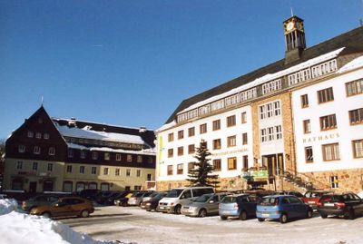
Altenberg, Historic mining town in Eastern Ore Mountains, Germany
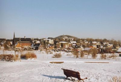
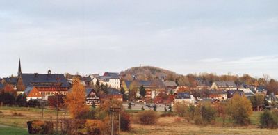
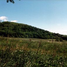
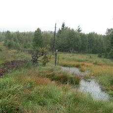
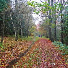
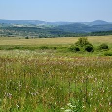
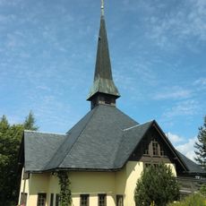
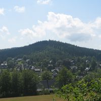
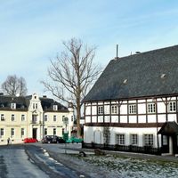
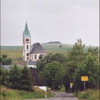
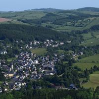
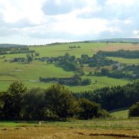
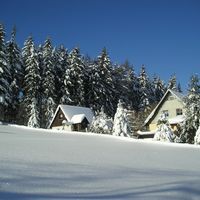
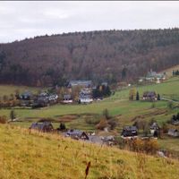
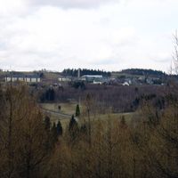
Altenberg is a municipality in the eastern Ore Mountains at about 750 meters elevation, surrounded by dense forests and mountainous terrain. The village is marked by historic mine workings, whose tunnels and structures continue to shape the settlement's character.
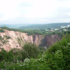
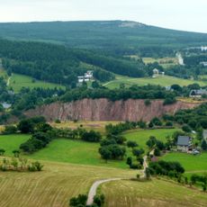
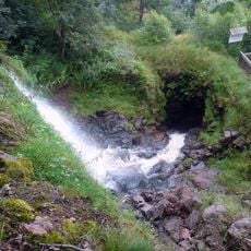
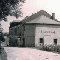
Mining in Altenberg started in the mid-15th century and shaped the village for over 500 years through tin extraction. The closure of mines in 1991 ended an era that had fundamentally defined the town's economic and social life.
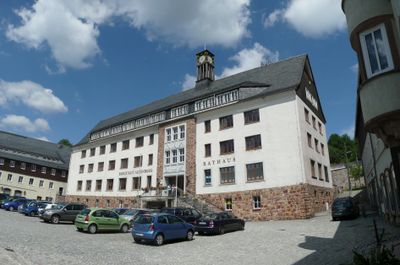
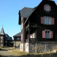
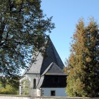
The town's name comes from its mining heritage, which shaped community life for centuries and remains visible in its buildings and village layout today. This shared mining legacy continues to define how residents connect with their surroundings and understand their place's identity.
The underground mine chambers maintain a constant temperature between 8 and 10 degrees Celsius, so visitors should bring warm clothing. Good footwear is important as paths are uneven and can be slippery in places.
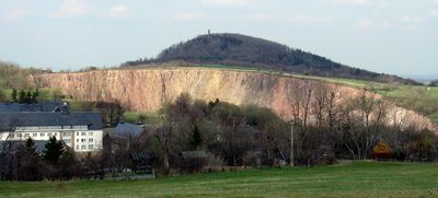
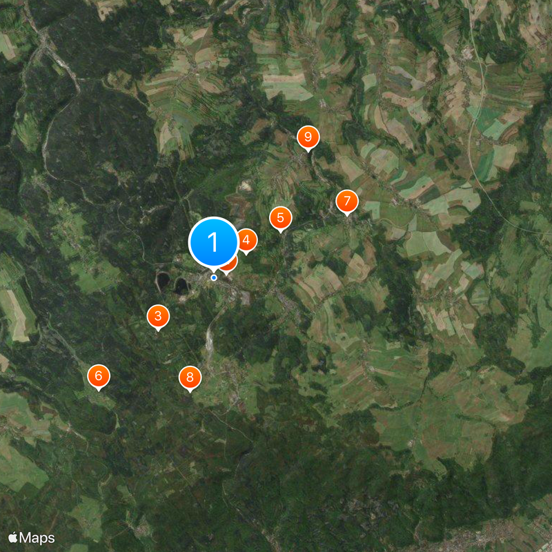
The Altenberg Pinge is a massive mining depression measuring about 400 meters across and about 150 meters deep, created by centuries of tin extraction. This natural crater stands today as powerful evidence of how intensively the area was worked for minerals.
Location: Altenberg Administrative Community
Elevation above the sea: 750 m
Shares border with: Glashütte, Liebstadt, Bad Gottleuba-Berggießhübel, Hermsdorf, Schmiedeberg, Telnice, Krupka, Dubí, Košťany, Moldava, Petrovice, Mikulov
Website: https://rathaus-altenberg.de
GPS coordinates: 50.76444,13.75778
Latest update: December 6, 2025 21:27
Altenberg Pinge
457 m
Kahleberg
2.6 km
Geisingberg
1.4 km
Jagdschloss Rehefeld
5.4 km
Schloss Lauenstein
5 km
Georgenfelder Hochmoor
3.9 km
Schloss Bärenstein
5.4 km
Kohlhaukuppe
3.4 km
Rašeliniště U jezera - Cínovecké rašeliniště
4.3 km
Tiefenbach Waterfall
1.4 km
Aschergraben
1.1 km
St. Marien und Laurentin (Lauenstein)
5.1 km
Přírodní park Východní Krušné hory
9.6 km
Kirche Altenberg
230 m
Kleiner Galgenteich
863 m
Church of the Assumption of the Virgin Mary in Cínovec
3.8 km
Botanischer Garten Schellerhau
4.1 km
Grenzbrücke
10.1 km
Dorfkirche Schellerhau
4.9 km
Hraniční buk
3.6 km
Bergkirche Kipsdorf
7.2 km
Nasenbachtalbrücke
9.7 km
Evangelisch-Lutherische Kapelle Oberbärenburg
5 km
Stadtkirche Geising
2.4 km
Herklotzmühle
5.8 km
Katholische Kapelle Oberbärenburg
4.6 km
Černá louka
9.8 km
Neugraben (Großer Galgenteich)
1.5 kmVisited this place? Tap the stars to rate it and share your experience / photos with the community! Try now! You can cancel it anytime.
Discover hidden gems everywhere you go!
From secret cafés to breathtaking viewpoints, skip the crowded tourist spots and find places that match your style. Our app makes it easy with voice search, smart filtering, route optimization, and insider tips from travelers worldwide. Download now for the complete mobile experience.
A unique approach to discovering new places❞
— Le Figaro
All the places worth exploring❞
— France Info
A tailor-made excursion in just a few clicks❞
— 20 Minutes