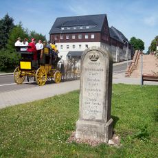
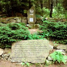
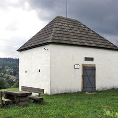
Aschergraben, Heritage monument in Altenberg, Germany
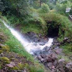
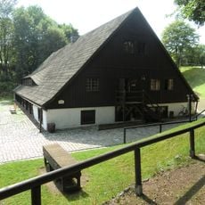
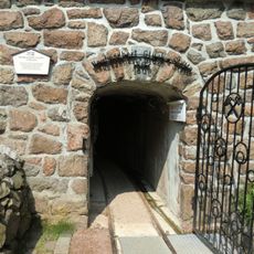
Aschergraben is a water management system in Altenberg consisting of stone channels and structures that run through the landscape. The waterways demonstrate how this resource was directed and used to support mining activities in the region.
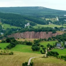
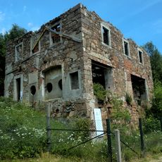
The system originated in medieval times and became essential to mining operations in the Erzgebirge mountains. Over centuries, it was maintained and adapted to meet the demands of expanding mining activities in the area.
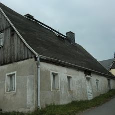
The water channels here show how miners managed water flow to support their daily operations. The structures reflect practical engineering that local communities developed and relied upon over many generations.
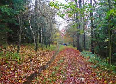
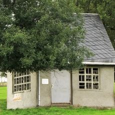
The site is accessible from Altenberg center via marked pathways and features informational panels along the route. Sturdy footwear is recommended since the paths cross uneven terrain and follow the natural contours of the landscape.
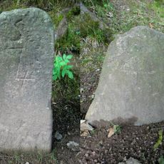
The original stone construction has survived intact over many centuries and documents engineering achievements that impress modern understanding. These early structures reveal how effectively builders could control water flow without modern machinery or tools.
Location: Altenberg
GPS coordinates: 50.76170,13.77221
Latest update: December 9, 2025 20:22
Altenberg Pinge
745 m
Tiefenbach Waterfall
373 m
Bergbaumuseum Altenberg
269 m
Wohnhaus Zinnwalder Straße 2
720 m
Royal Saxon milestone Dresdner Straße Altenberg
791 m
Altenberger Binge („Bergbaumonumente Altenberg“)
738 m
Vereinigt Feld im Zwitterstock zu Altenberg – Rothe Zecher Treibeschacht;(„Bergbaumonumente Altenberg“) Bergarbeitersiedlung
563 m
Altenberg mining museum
270 m
Wohnhaus Zinnwalder Straße 8
676 m
Wohnstallhaus Römerstraße 2
706 m
Gedenkstein Aschergrabenweg
676 m
Überhaun 20 („Bergbaumonumente Altenberg“) Bergarbeitersiedlung
435 m
Überhaun 32 („Bergbaumonumente Altenberg“) Bergarbeitersiedlung
518 m
Bergbaumonumente Altenberg Mühlenstraße 2
253 m
Arno-Lippmann-Schacht („Bergbaumonumente Altenberg“) Zinnwalder Straße 5
533 m
Wohnhaus Bergstraße 3
740 m
Wohnhaus Zinnwalder Straße 4
709 m
Wohnhaus Zinnwalder Straße 10
652 m
Gedenkstein Mühlenstraße 2
317 m
Neubeschert-Glück-Stolln („Bergbaumonumente Altenberg“) Mühlenstraße 2
237 m
Vereinigt Feld im Zwitterstock zu Altenberg („Bergbaumonumente Altenberg“) Bergarbeitersiedlung
447 m
Vereinigt Feld im Zwitterstock zu Altenberg – Römerschacht („Bergbaumonumente Altenberg“) Römerstraße
619 m
Wohnhaus Römerstraße 6
644 m
Bergmannsbrunnen („Bergbaumonumente Altenberg“) Obere Straße
844 m
Rathaus Platz des Bergmanns 2
885 m
Wohnhaus Rathausstraße 5
819 m
Wohnstallhaus Zinnwalder Straße 6
690 m
Transformatorenhäuschen Römerstraße 2
725 mVisited this place? Tap the stars to rate it and share your experience / photos with the community! Try now! You can cancel it anytime.
Discover hidden gems everywhere you go!
From secret cafés to breathtaking viewpoints, skip the crowded tourist spots and find places that match your style. Our app makes it easy with voice search, smart filtering, route optimization, and insider tips from travelers worldwide. Download now for the complete mobile experience.
A unique approach to discovering new places❞
— Le Figaro
All the places worth exploring❞
— France Info
A tailor-made excursion in just a few clicks❞
— 20 Minutes