Kahleberg, Mountain summit in Altenberg, Germany
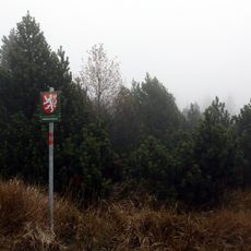
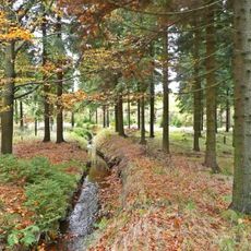
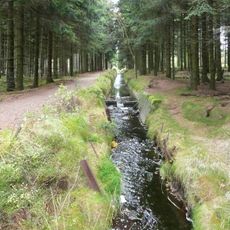
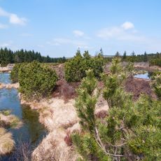
Kahleberg is a mountain summit near Altenberg that rises to approximately 905 meters in the eastern Erzgebirge range. The mountain is accessed via well-marked hiking trails that ascend from nearby communities.
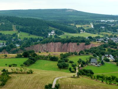
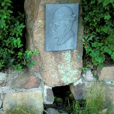
The mountain served as a boundary between Saxony and Bohemia for centuries and influenced regional trade route development. This geographic position shaped settlement and transportation patterns in the surrounding areas.
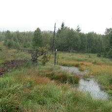
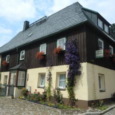
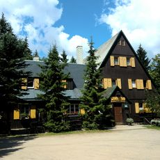
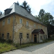
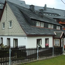
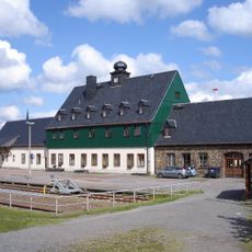
The mountain serves as a gathering point for the local region and connects several nearby communities through its trail network. Walkers from surrounding villages meet here to enjoy the landscape and spend time outdoors.
The summit is most easily reached from Altenberg, where train services arrive and hiking trails begin. Multiple routes with varying difficulty levels lead to the top, making the ascent manageable for different abilities.
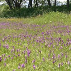
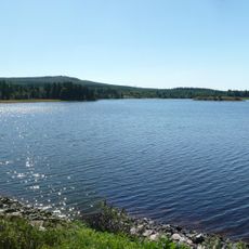
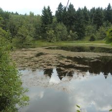
On clear days, the summit offers views across multiple mountain ranges, including vistas toward the Elbe Valley and the distant Jizera Mountains. Such far-reaching views are a special reward for reaching the top.
Location: Altenberg
Elevation above the sea: 905 m
GPS coordinates: 50.74870,13.73093
Latest update: December 10, 2025 16:29
Georgenfelder Hochmoor
2.3 km
Rašeliniště U jezera - Cínovecké rašeliniště
2.6 km
Kirche Altenberg
2.7 km
Kleiner Galgenteich
1.9 km
Neugraben (Großer Galgenteich)
1.5 km
Quergraben
1.4 km
Skiläufer
2.5 km
Grundschule Altenberg Dippoldiswalder Straße 19
2.5 km
Am Galgenteich Altenberg
2.2 km
Wohnhaus Bachstraße 15
2.5 km
Wohnhaus Uferweg 2
2.6 km
Wohnhaus Bachstraße 11
2.6 km
Hotel „Berghof Raupennest“ („Sanatorium Raupennest“) Zinnwalder Straße 38
2.1 km
Schwarzer Teich („Bergbaumonumente Altenberg“)
2.5 km
Quergraben („Bergbaumonumente Altenberg“)
1.2 km
Galgenteiche („Bergbaumonumente Altenberg“)
1.7 km
Walkteiche („Bergbaumonumente Altenberg“) Rehefelder Straße
2.1 km
Wohnhaus Bachstraße 5
2.6 km
Waldschänke Altes Raupennest Raupennestweg 4
2.1 km
Georgenfelder Hochmoor
2.3 km
Anton-Günther-Denkmal Zinnwalder Straße
2 km
Wohnhaus Uferweg 1
2.6 km
Bahnhof Altenberg („Müglitztalbahn“) Bahnhof 1; 2
2.6 km
Wappenstein Dippoldiswalder Straße 6a
2.7 km
Max-Gross-Denkmal Sonnenhofweg
2.4 km
Brautstock Langegassenweg
2.6 km
Wohnhaus Bachstraße 7
2.6 km
Portal Bachstraße 3
2.6 kmVisited this place? Tap the stars to rate it and share your experience / photos with the community! Try now! You can cancel it anytime.
Discover hidden gems everywhere you go!
From secret cafés to breathtaking viewpoints, skip the crowded tourist spots and find places that match your style. Our app makes it easy with voice search, smart filtering, route optimization, and insider tips from travelers worldwide. Download now for the complete mobile experience.
A unique approach to discovering new places❞
— Le Figaro
All the places worth exploring❞
— France Info
A tailor-made excursion in just a few clicks❞
— 20 Minutes