
Koldingen, human settlement in Germany
Location: Pattensen
Elevation above the sea: 60 m
GPS coordinates: 52.27330,9.79472
Latest update: March 4, 2025 01:17

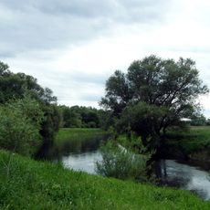
Leineaue zwischen Ruthe und Koldingen
2.3 km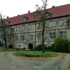
Amtshaus Koldingen
19 m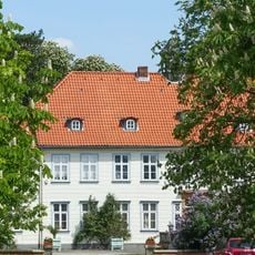
Burg Reden
1.1 km
Leineaue zwischen Hannover und Ruthe
1.2 km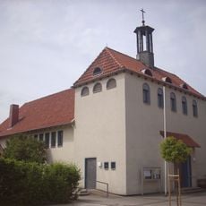
St. Maria Pattensen
2.4 km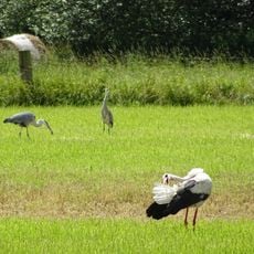
Leineaue zwischen Hannover und Ruthe
1.3 km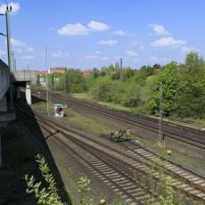
Rethen Viaduct
2.2 km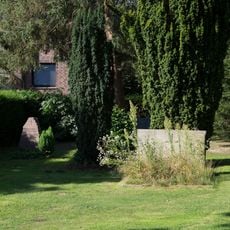
Alter Koldinger Friedhof
197 m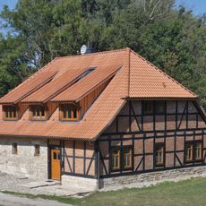
Wassermühle Koldingen
166 m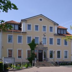
Ehemaliges Rathaus
2.4 km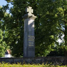
Gefallenendenkmal
2.4 km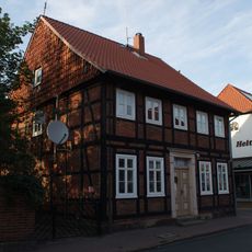
Talstraße 10
2.4 km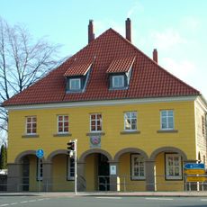
Alte Wache
2.4 km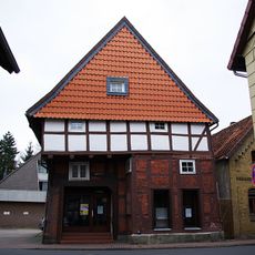
Steinstraße 8
2.5 km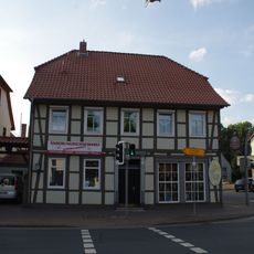
Göttinger Straße 24
2.5 km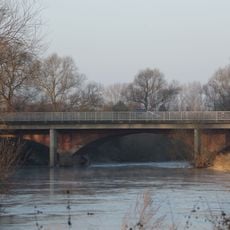
Leinebrücke Koldingen
715 m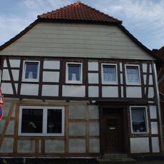
Talstraße 3
2.4 km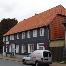
Steinstraße 40
2.5 km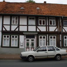
Steinstraße 18
2.5 km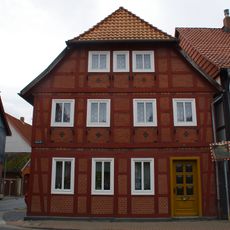
Steinstraße 3
2.5 km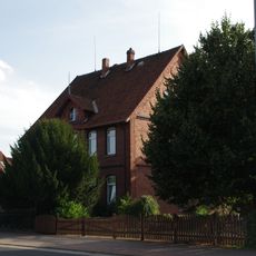
Göttinger Straße 12
2.3 km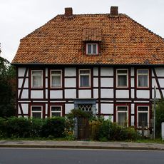
Göttinger Straße 16
2.3 km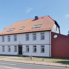
Göttinger Straße 45
2.3 km
Göttinger Straße 35
2.2 km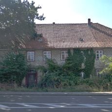
Wohnhaus, Rethener Straße 8
378 m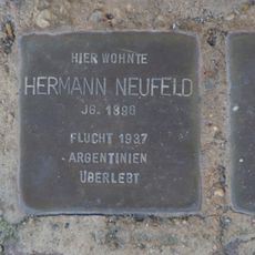
Stolperstein dedicated to Hermann Neufeld
2.5 km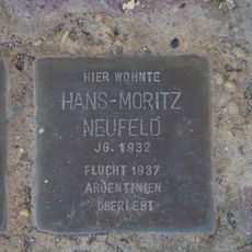
Stolperstein dedicated to Hans-Moritz Neufeld
2.5 km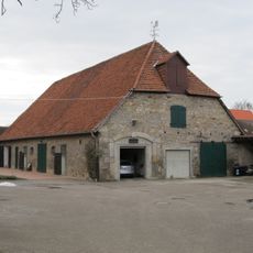
Auf der Burg, Scheune
2.4 kmVisited this place? Tap the stars to rate it and share your experience / photos with the community! Try now! You can cancel it anytime.
Discover hidden gems everywhere you go!
From secret cafés to breathtaking viewpoints, skip the crowded tourist spots and find places that match your style. Our app makes it easy with voice search, smart filtering, route optimization, and insider tips from travelers worldwide. Download now for the complete mobile experience.

A unique approach to discovering new places❞
— Le Figaro
All the places worth exploring❞
— France Info
A tailor-made excursion in just a few clicks❞
— 20 Minutes