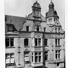
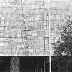
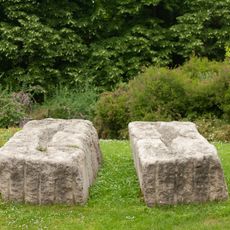
Landesvermessungsamt Baden-Württemberg, Former state survey office in Stuttgart, Germany
The Landesvermessungsamt Baden-Württemberg operated as a central mapping and surveying institution, delivering geographical data services across the state.
From 1953 to 2008, this institution succeeded the Statistisch-Topographisches Bureau and maintained responsibility for land registration and topographic mapping in Baden-Württemberg.
The institution established standardized methods for land documentation and influenced the development of German surveying practices through technical innovations.
Located at coordinates 48.779444 latitude and 9.171389 longitude, this office provided essential mapping services for construction companies and urban planning departments.
The office introduced open geodata initiatives, transforming restricted geographical information into publicly accessible resources before its closure.
The community of curious travelers
AroundUs brings together thousands of curated places, local tips, and hidden gems, enriched daily by 92,721 contributors worldwide.