Widdersdorf, Residential district in Lindenthal, Germany
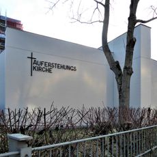
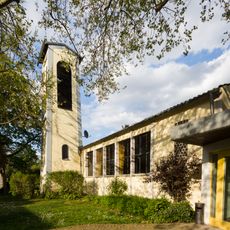
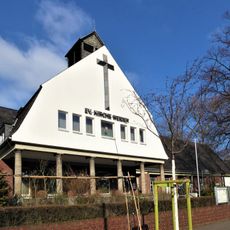
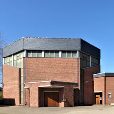
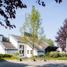
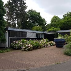
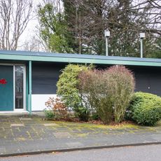
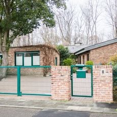
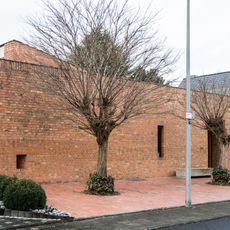
Widdersdorf is a residential district within Cologne's Lindenthal borough, characterized by single-family homes and extensive green spaces throughout the area. The neighborhood features a mix of residential streets, parks, and local facilities that support daily life for those living there.
The area evolved from farmland into a residential neighborhood through gradual development over decades. The southern section in particular saw significant construction that shaped the district's current form.
Community life centers around the local parks and green spaces, where neighbors gather informally throughout the year. These meeting places shape how residents connect with each other and define the character of the neighborhood.
The area is well connected to central Cologne through public transportation, with schools and kindergartens serving the local population. Visitors can explore the neighborhood on foot, as residential streets and parks are easily accessible throughout the district.
The district manages to maintain a rare balance between residential development and sprawling green spaces that is uncommon in many modern neighborhoods. This combination allows people to experience urban living while remaining close to nature.
The community of curious travelers
AroundUs brings together thousands of curated places, local tips, and hidden gems, enriched daily by 60,000 contributors worldwide.