Lohr, Former administrative district in Lower Franconia, Bavaria, Germany
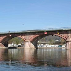
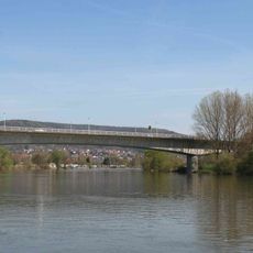
Lohr was an administrative district in Lower Franconia that stretched along the Main River valley between Würzburg and Aschaffenburg. The territory included several municipalities and smaller towns shaped by their location in the Franconian cultural landscape.
The district was created in 1862 and served as a regional administrative entity for several decades. During Bavaria's administrative reforms in the 20th century, it was dissolved and its territory distributed to other districts.
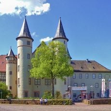
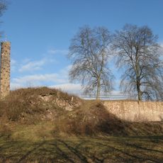
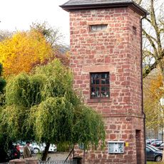
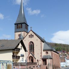
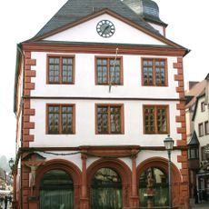
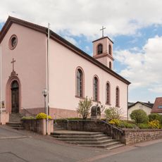
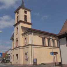
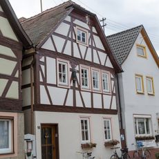
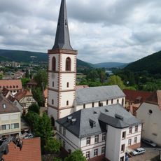
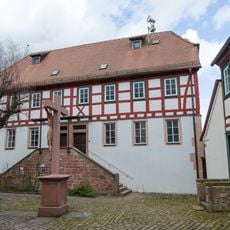
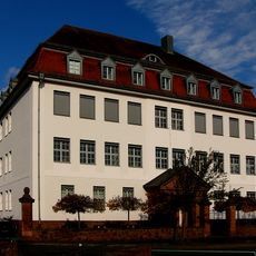
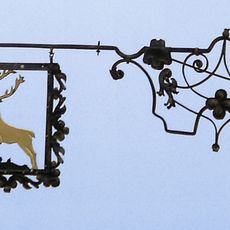
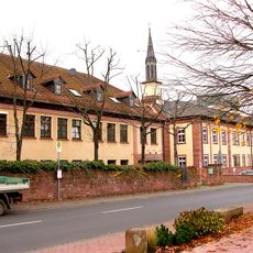
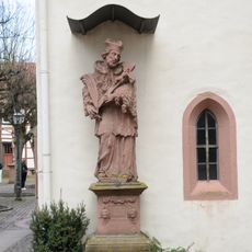
The district contained numerous medieval settlements and architectural structures that reflected the traditional Franconian building styles and regional heritage.
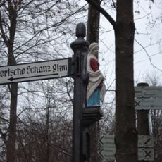
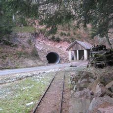
The area lies in a hilly region along the Main with good accessibility through traditional routes. Visitors can best explore the region by traveling to the individual towns that formed the former administrative territory.
The territory bordered the Spessart mountain range, which formed a natural boundary between Bavaria and Hesse. This geographic position made the district an important transition zone between two states.
The community of curious travelers
AroundUs brings together thousands of curated places, local tips, and hidden gems, enriched daily by 60,000 contributors worldwide.