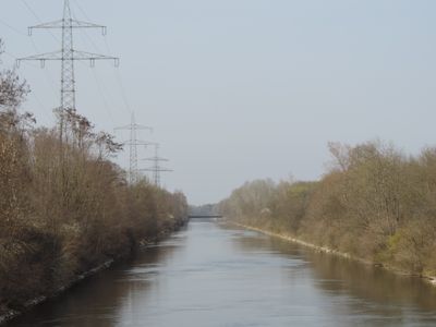
LEW-Werkkanal, Industrial canal in Meitingen, Germany.
The LEW-Werkkanal is an 18-kilometer waterway that runs alongside the Lech River with a width of roughly 28 meters and crosses seven road bridges. Three hydroelectric power stations use the water to generate electricity, while sediment traps prevent clogging from buildup.
Construction of the waterway started in 1898 with an initial three-kilometer section, leading to the opening of the Gersthofen power plant in 1901. Gradual expansion of this infrastructure shaped industrial growth across the region for decades to come.
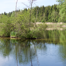
The waterway runs through an area where industrial engineering and natural surroundings coexist in a way visitors can observe directly. Local residents and workers have shaped how this corridor functions within the broader landscape.
Visitors can observe the waterway best from the bridges and towpaths that run along its entire length and remain accessible. The terrain is relatively flat, making walking and cycling pleasurable in all seasons.
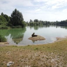
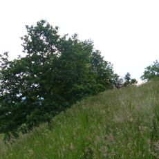
A strip of land running alongside the waterway varies between 100 and 500 meters wide, creating different habitat zones in close succession. This changing width allows visitors to observe different stages of ecological development over a short distance.
The community of curious travelers
AroundUs brings together thousands of curated places, local tips, and hidden gems, enriched daily by 60,000 contributors worldwide.