Offenbach-Lohwald, Former residential district in eastern Offenbach am Main, Germany.
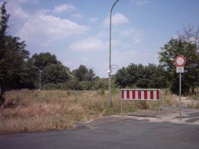
Offenbach-Lohwald was a residential district in eastern Offenbach am Main situated between railway tracks that physically separated it from the rest of the city. The area consisted of several apartment buildings arranged as a self-contained settlement with limited connections to the downtown area.
The district originated in the 1930s as a makeshift settlement of converted railway wagons, which locals initially called Waggonhausen after its improvised nature. It later received the official name Lohwald and developed into an established residential neighborhood over the following decades.
The neighborhood served as a residential community where people built connections through daily interactions and local activities over many decades. Such districts often held meaning for residents who spent formative years there before the area changed completely.
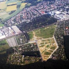
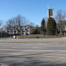
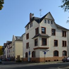
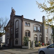
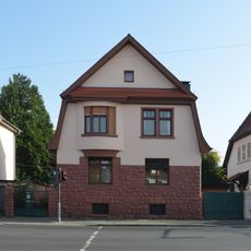
The area is no longer inhabited today and has been gradually transformed since 2003 into a modern residential development called An den Eichen. Visitors will find a completely redesigned residential environment in this location rather than remnants of the former district.
Many long-term residents did not leave the area until 2003, meaning the transformation began relatively late in the district's history. A local football club from the neighborhood demonstrated the community's sporting spirit during its active years.
The community of curious travelers
AroundUs brings together thousands of curated places, local tips, and hidden gems, enriched daily by 60,000 contributors worldwide.